Distance to Emmaville, Minnesota

Calculating Your Route
Just a moment while we process your request...
Location Information
-
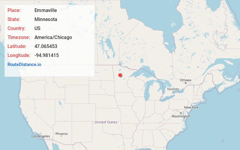
Full AddressEmmaville, MN 56470
-
Coordinates47.065453, -94.981415
-
LocationEmmaville , Minnesota , US
-
TimezoneAmerica/Chicago
-
Current Local Time10:40:37 AM America/ChicagoSunday, June 8, 2025
-
Page Views0
About Emmaville
Emmaville is an unincorporated community in Hubbard County, Minnesota, United States, halfway between Park Rapids and Lake George. The small community is located at the junction of Hubbard County Roads 4 and 24, within Clay Township and Lake Emma Township.

Nearby Places
Found 10 places within 50 miles

Deer Lane
1.8 mi
2.9 km
Deer Lane, MN 56470
Get directions
Dorset
7.7 mi
12.4 km
Dorset, MN 56470
Get directions
Arago
8.5 mi
13.7 km
Arago, MN 56470
Get directions

Lake George
9.4 mi
15.1 km
Lake George, MN 56458
Get directions

Nevis
9.6 mi
15.4 km
Nevis, MN 56467
Get directions

Park Rapids
10.5 mi
16.9 km
Park Rapids, MN 56470
Get directions
Two Inlets
11.1 mi
17.9 km
Two Inlets, MN 56470
Get directions
Goldenrod
12.1 mi
19.5 km
Goldenrod, MN 56470
Get directions

Akeley
12.7 mi
20.4 km
Akeley, MN 56433
Get directions

Laporte
14.8 mi
23.8 km
Laporte, MN 56461
Get directions
Location Links
Local Weather
Weather Information
Coming soon!
Location Map
Static map view of Emmaville, Minnesota
Browse Places by Distance
Places within specific distances from Emmaville
Short Distances
Long Distances
Click any distance to see all places within that range from Emmaville. Distances shown in miles (1 mile ≈ 1.61 kilometers).