Distance to and from Emporia, Virginia
Emporia, VA 23847
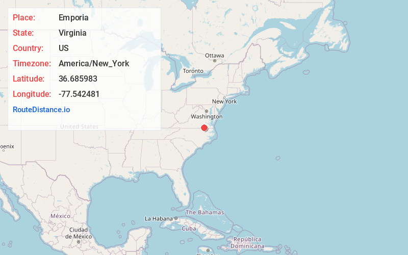
Emporia
Virginia
US
America/New_York
Location Information
-
Full AddressEmporia, VA 23847
-
Coordinates36.6859829, -77.5424809
-
LocationEmporia , Virginia , US
-
TimezoneAmerica/New_York
-
Current Local Time11:27:25 AM America/New_YorkSaturday, May 3, 2025
-
Page Views0
Directions to Nearest Cities
About Emporia
Emporia is an independent city in the Commonwealth of Virginia, surrounded by Greensville County, United States. Emporia and a predecessor town have been the county seat of Greensville County since 1791. As of the 2020 census, the population was 5,766, making it the third-least populous city in Virginia.


Nearby Places
Found 8 places within 50 miles

Roanoke Rapids
16.7 mi
26.9 km
Roanoke Rapids, NC 27870
Get directions

Franklin
34.4 mi
55.4 km
Franklin, VA 23851
Get directions

Wakefield
36.3 mi
58.4 km
Wakefield, VA 23888
Get directions

Petersburg
38.2 mi
61.5 km
Petersburg, VA
Get directions

Ettrick
38.8 mi
62.4 km
Ettrick, VA
Get directions

Colonial Heights
39.2 mi
63.1 km
Colonial Heights, VA 23834
Get directions

Hopewell
45.0 mi
72.4 km
Hopewell, VA 23860
Get directions

Chester
46.7 mi
75.2 km
Chester, VA
Get directions
Roanoke Rapids
16.7 mi
26.9 km
Roanoke Rapids, NC 27870
Franklin
34.4 mi
55.4 km
Franklin, VA 23851
Wakefield
36.3 mi
58.4 km
Wakefield, VA 23888
Petersburg
38.2 mi
61.5 km
Petersburg, VA
Ettrick
38.8 mi
62.4 km
Ettrick, VA
Colonial Heights
39.2 mi
63.1 km
Colonial Heights, VA 23834
Hopewell
45.0 mi
72.4 km
Hopewell, VA 23860
Chester
46.7 mi
75.2 km
Chester, VA
Location Links
Local Weather
Weather Information
Coming soon!
Location Map
Static map view of Emporia, Virginia
Browse Places by Distance
Places within specific distances from Emporia
Short Distances
Long Distances
Click any distance to see all places within that range from Emporia. Distances shown in miles (1 mile ≈ 1.61 kilometers).