Distance to Encinal, Texas

Calculating Your Route
Just a moment while we process your request...
Location Information
-
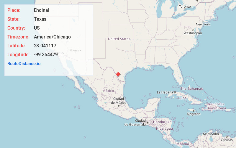
Full AddressEncinal, TX 78019
-
Coordinates28.041117, -99.3544787
-
LocationEncinal , Texas , US
-
TimezoneAmerica/Chicago
-
Current Local Time8:02:17 PM America/ChicagoMonday, May 19, 2025
-
Page Views0
About Encinal
Encinal is a city in La Salle County, Texas, United States. The population was 540 at the 2020 census. Interstate 35 Business runs through the community. There are few businesses in Encinal; most have closed along the main street.
Railroad officials named the town for the Spanish word for oak grove.
Nearby Places
Found 7 places within 50 miles

Cotulla
28.3 mi
45.5 km
Cotulla, TX 78014
Get directions

Laredo
38.3 mi
61.6 km
Laredo, TX
Get directions

Dilley
44.7 mi
71.9 km
Dilley, TX 78017
Get directions

Carrizo Springs
45.3 mi
72.9 km
Carrizo Springs, TX 78834
Get directions

Freer
46.3 mi
74.5 km
Freer, TX
Get directions

Rio Bravo
47.4 mi
76.3 km
Rio Bravo, TX 78046
Get directions

El Cenizo
49.8 mi
80.1 km
El Cenizo, TX 78046
Get directions
Location Links
Local Weather
Weather Information
Coming soon!
Location Map
Static map view of Encinal, Texas
Browse Places by Distance
Places within specific distances from Encinal
Short Distances
Long Distances
Click any distance to see all places within that range from Encinal. Distances shown in miles (1 mile ≈ 1.61 kilometers).