Distance to Enfield, Virginia

Calculating Your Route
Just a moment while we process your request...
Location Information
-
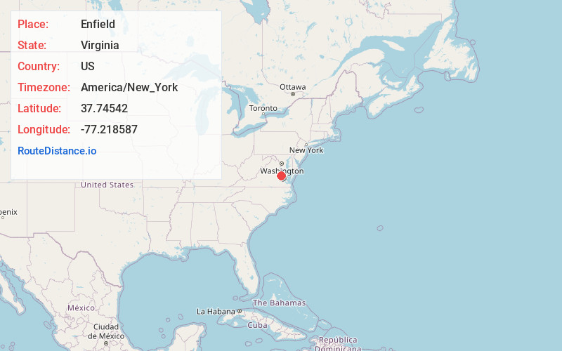
Full AddressEnfield, VA 23009
-
Coordinates37.7454197, -77.2185873
-
LocationVirginia , US
-
TimezoneAmerica/New_York
-
Current Local Time5:48:27 PM America/New_YorkMonday, June 16, 2025
-
Page Views0
About Enfield
Enfield is an unincorporated community in King William County, Virginia, United States.
Seven Springs was listed on the National Register of Historic Places in 1978.
Nearby Places
Found 10 places within 50 miles

Corinth Fork
2.0 mi
3.2 km
Corinth Fork, VA 23106
Get directions
Etna Mills
3.0 mi
4.8 km
Etna Mills, VA 23069
Get directions
Hanovertown
3.7 mi
6.0 km
Hanovertown, VA 23116
Get directions
Manquin
4.3 mi
6.9 km
Manquin, VA
Get directions
Venter
4.7 mi
7.6 km
Venter, Central Garage, VA 23009
Get directions
Central Garage
4.7 mi
7.6 km
Central Garage, VA
Get directions
Mangohick
5.4 mi
8.7 km
Mangohick, VA 23009
Get directions
Tuck Fork
6.0 mi
9.7 km
Tuck Fork, VA 23009
Get directions


Leaflet © OpenStreetMap contributors
Location Links
Local Weather
Weather Information
Coming soon!
Location Map
Static map view of Enfield, Virginia
Browse Places by Distance
Places within specific distances from Enfield
Short Distances
Long Distances
Click any distance to see all places within that range from Enfield. Distances shown in miles (1 mile ≈ 1.61 kilometers).