Distance to Enfield, New Hampshire

Calculating Your Route
Just a moment while we process your request...
Location Information
-
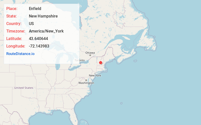
Full AddressEnfield, NH
-
Coordinates43.640644, -72.143983
-
LocationEnfield , New Hampshire , US
-
TimezoneAmerica/New_York
-
Current Local Time9:06:18 AM America/New_YorkMonday, June 23, 2025
-
Website
-
Page Views0
About Enfield
Enfield is a town in Grafton County, New Hampshire, United States. The population was 4,465 at the 2020 census. The town includes the villages of Enfield, Enfield Center, Upper Shaker Village, Lower Shaker Village, Lockehaven, and Montcalm.

Nearby Places
Found 10 places within 50 miles

Lebanon
5.4 mi
8.7 km
Lebanon, NH
Get directions

Hanover
8.4 mi
13.5 km
Hanover, NH
Get directions

Hartford
11.4 mi
18.3 km
Hartford, VT
Get directions

Newport
19.1 mi
30.7 km
Newport, NH 03773
Get directions

Claremont
20.9 mi
33.6 km
Claremont, NH
Get directions

Plymouth
24.2 mi
38.9 km
Plymouth, NH 03264
Get directions

Haverhill
27.5 mi
44.3 km
Haverhill, NH
Get directions

Franklin
28.3 mi
45.5 km
Franklin, NH
Get directions

Springfield
29.1 mi
46.8 km
Springfield, VT
Get directions

Northfield
31.2 mi
50.2 km
Northfield, NH
Get directions
Location Links
Local Weather
Weather Information
Coming soon!
Location Map
Static map view of Enfield, New Hampshire
Browse Places by Distance
Places within specific distances from Enfield
Short Distances
Long Distances
Click any distance to see all places within that range from Enfield. Distances shown in miles (1 mile ≈ 1.61 kilometers).