Distance to Englevale, North Dakota

Calculating Your Route
Just a moment while we process your request...
Location Information
-
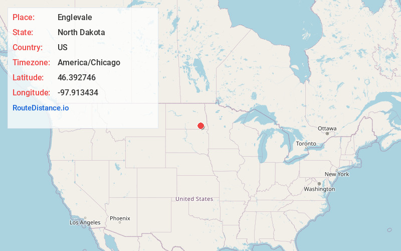
Full AddressEnglevale, ND 58033
-
Coordinates46.3927458, -97.9134343
-
LocationEnglevale , North Dakota , US
-
TimezoneAmerica/Chicago
-
Current Local Time11:18:54 AM America/ChicagoSaturday, June 14, 2025
-
Page Views0
About Englevale
Englevale is a census-designated place and unincorporated community in Ransom County, North Dakota, United States. Its population was 40 as of the 2010 census. The community was initially named Marshall after landowner Marshall T. Davis; it was later renamed for Mathias L. Engel, a promoter for the community.
Nearby Places
Found 10 places within 50 miles

Verona
7.8 mi
12.6 km
Verona, ND 58490
Get directions
Fort Ransom
8.9 mi
14.3 km
Fort Ransom, ND 58033
Get directions

Lisbon
11.6 mi
18.7 km
Lisbon, ND 58054
Get directions

Gwinner
16.6 mi
26.7 km
Gwinner, ND
Get directions

Lamoure
18.3 mi
29.5 km
Lamoure, ND 58458
Get directions

Oakes
19.5 mi
31.4 km
Oakes, ND 58474
Get directions

Kathryn
20.0 mi
32.2 km
Kathryn, ND 58049
Get directions

Nome
20.3 mi
32.7 km
Nome, ND 58062
Get directions

Cogswell
20.7 mi
33.3 km
Cogswell, ND 58017
Get directions

Enderlin
21.8 mi
35.1 km
Enderlin, ND 58027
Get directions
Location Links
Local Weather
Weather Information
Coming soon!
Location Map
Static map view of Englevale, North Dakota
Browse Places by Distance
Places within specific distances from Englevale
Short Distances
Long Distances
Click any distance to see all places within that range from Englevale. Distances shown in miles (1 mile ≈ 1.61 kilometers).