Distance to Enhaut, Pennsylvania

Calculating Your Route
Just a moment while we process your request...
Location Information
-
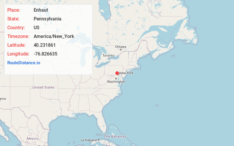
Full AddressEnhaut, PA 17113
-
Coordinates40.2318607, -76.8266353
-
LocationEnhaut , Pennsylvania , US
-
TimezoneAmerica/New_York
-
Current Local Time11:04:27 PM America/New_YorkThursday, June 19, 2025
-
Page Views0
About Enhaut
Enhaut is an unincorporated community and census-designated place located in Swatara Township, Dauphin County, Pennsylvania, United States. The community was formerly part of the census-designated place of Bressler-Enhaut-Oberlin, before splitting into three separate CDPs for the 2010 census.
Nearby Places
Found 10 places within 50 miles

Bressler
0.4 mi
0.6 km
Bressler, PA 17113
Get directions

Steelton
0.8 mi
1.3 km
Steelton, PA 17113
Get directions

Swatara Township
1.3 mi
2.1 km
Swatara Township, PA
Get directions
Paxtang
1.9 mi
3.1 km
Paxtang, PA 17111
Get directions
Lawnton
2.2 mi
3.5 km
Lawnton, PA 17111
Get directions

Highspire
2.4 mi
3.9 km
Highspire, PA
Get directions

New Cumberland
3.1 mi
5.0 km
New Cumberland, PA 17070
Get directions
Penbrook
3.2 mi
5.1 km
Penbrook, PA
Get directions

Lemoyne
3.6 mi
5.8 km
Lemoyne, PA
Get directions
Progress
3.7 mi
6.0 km
Progress, PA
Get directions
Location Links
Local Weather
Weather Information
Coming soon!
Location Map
Static map view of Enhaut, Pennsylvania
Browse Places by Distance
Places within specific distances from Enhaut
Short Distances
Long Distances
Click any distance to see all places within that range from Enhaut. Distances shown in miles (1 mile ≈ 1.61 kilometers).