Distance to Enid, Montana

Calculating Your Route
Just a moment while we process your request...
Location Information
-
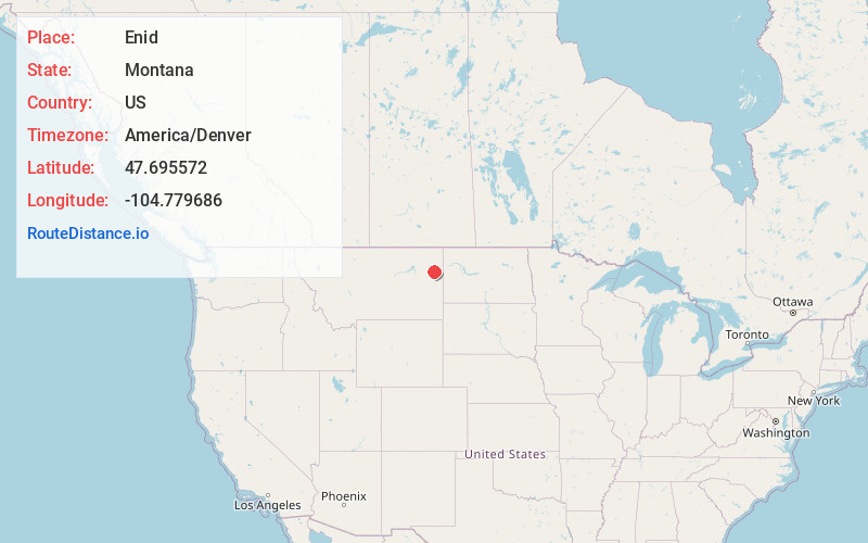
Full AddressEnid, MT 59259
-
Coordinates47.6955715, -104.7796858
-
LocationEnid , Montana , US
-
TimezoneAmerica/Denver
-
Current Local Time1:23:18 PM America/DenverSaturday, June 14, 2025
-
Page Views0
Nearby Places
Found 10 places within 50 miles

Lambert
7.4 mi
11.9 km
Lambert, MT 59243
Get directions
Richey
13.9 mi
22.4 km
Richey, MT 59259
Get directions

Richland County
15.5 mi
24.9 km
Richland County, MT
Get directions
Red Top
19.6 mi
31.5 km
Red Top, MT 59330
Get directions
Bloomfield
20.6 mi
33.2 km
Bloomfield, MT 59315
Get directions
Andes
20.9 mi
33.6 km
Andes, MT 59218
Get directions
Crane
25.5 mi
41.0 km
Crane, MT 59262
Get directions
Hoffmanville
25.6 mi
41.2 km
Hoffmanville, MT 59262
Get directions
Piche
26.2 mi
42.2 km
Piche, MT 59262
Get directions
Sioux Pass
26.3 mi
42.3 km
Sioux Pass, MT 59221
Get directions
Location Links
Local Weather
Weather Information
Coming soon!
Location Map
Static map view of Enid, Montana
Browse Places by Distance
Places within specific distances from Enid
Short Distances
Long Distances
Click any distance to see all places within that range from Enid. Distances shown in miles (1 mile ≈ 1.61 kilometers).