Distance to Enola, Nebraska

Calculating Your Route
Just a moment while we process your request...
Location Information
-
Full AddressEnola, Union Precinct, NE 68701
-
Coordinates41.9038947, -97.462828
-
LocationUnion Precinct , Nebraska , US
-
TimezoneAmerica/Chicago
-
Current Local Time8:37:53 AM America/ChicagoSaturday, May 31, 2025
-
Page Views0
About Enola
Enola is an unincorporated community in Madison County, Nebraska, United States. It lies along local roads 8 miles north of the city of Madison, the county seat of Madison County.
Nearby Places
Found 10 places within 50 miles

Madison
5.3 mi
8.5 km
Madison, NE 68748
Get directions

Norfolk
9.2 mi
14.8 km
Norfolk, NE 68701
Get directions

Battle Creek
9.6 mi
15.4 km
Battle Creek, NE 68715
Get directions

Stanton
12.7 mi
20.4 km
Stanton, NE 68779
Get directions
Hadar
13.9 mi
22.4 km
Hadar, NE 68738
Get directions
Emerick
14.1 mi
22.7 km
Emerick, NE 68752
Get directions

Creston
14.6 mi
23.5 km
Creston, NE 68631
Get directions

Humphrey
14.7 mi
23.7 km
Humphrey, NE 68642
Get directions
Spurville
15.0 mi
24.1 km
Spurville, DWY Precinct, NE 68779
Get directions
St Bernard
15.2 mi
24.5 km
St Bernard, NE 68644
Get directions
Location Links
Local Weather
Weather Information
Coming soon!
Location Map
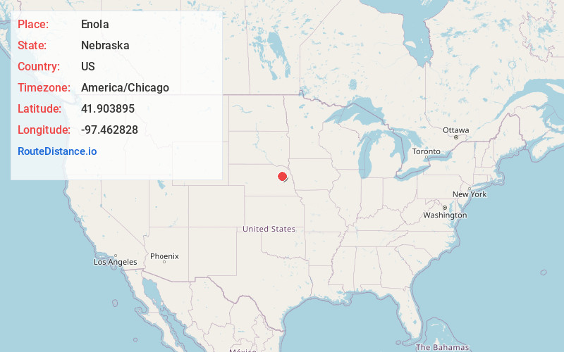
Static map view of Enola, Nebraska
Browse Places by Distance
Places within specific distances from Enola
Short Distances
Long Distances
Click any distance to see all places within that range from Enola. Distances shown in miles (1 mile ≈ 1.61 kilometers).