Distance to Ensign Township, Michigan

Calculating Your Route
Just a moment while we process your request...
Location Information
-
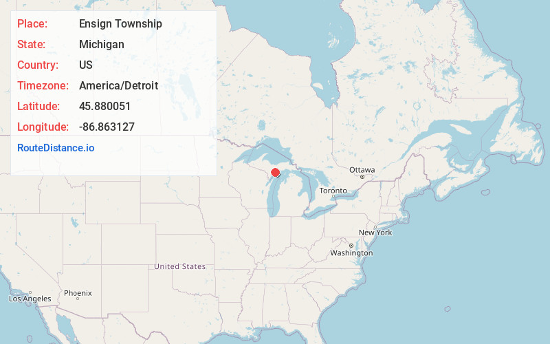
Full AddressEnsign Township, MI 49878
-
Coordinates45.8800514, -86.863127
-
LocationEnsign Township , Michigan , US
-
TimezoneAmerica/Detroit
-
Current Local Time6:41:02 PM America/DetroitTuesday, June 17, 2025
-
Page Views0
About Ensign Township
Ensign Township is a civil township of Delta County in the U.S. state of Michigan. The population was 746 at the 2020 census, slightly down from 748 at the 2010 census.
Nearby Places
Found 10 places within 50 miles

Ogontz
3.6 mi
5.8 km
Ogontz, Ensign Township, MI 49878
Get directions
Garth
4.4 mi
7.1 km
Garth, MI 49878
Get directions
St Jacques
5.9 mi
9.5 km
St Jacques, MI 49878
Get directions

Rapid River
5.9 mi
9.5 km
Rapid River, MI 49878
Get directions

Masonville
6.4 mi
10.3 km
Masonville, MI 49878
Get directions
Maywood
6.7 mi
10.8 km
Maywood, MI 49878
Get directions

Kipling
7.2 mi
11.6 km
Kipling, MI 49837
Get directions

Gladstone
7.9 mi
12.7 km
Gladstone, MI 49837
Get directions
Maplewood
8.1 mi
13.0 km
Maplewood, MI 49878
Get directions
Chaison
9.7 mi
15.6 km
Chaison, MI 49837
Get directions
Location Links
Local Weather
Weather Information
Coming soon!
Location Map
Static map view of Ensign Township, Michigan
Browse Places by Distance
Places within specific distances from Ensign Township
Short Distances
Long Distances
Click any distance to see all places within that range from Ensign Township. Distances shown in miles (1 mile ≈ 1.61 kilometers).