Distance to Epsom, North Carolina

Calculating Your Route
Just a moment while we process your request...
Location Information
-
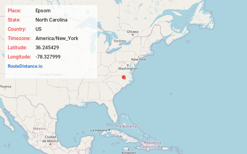
Full AddressEpsom, NC 27537
-
Coordinates36.2454286, -78.3279992
-
LocationEpsom , North Carolina , US
-
TimezoneAmerica/New_York
-
Current Local Time8:40:01 PM America/New_YorkTuesday, June 17, 2025
-
Page Views0
About Epsom
Epsom is an unincorporated community in northern Franklin County and southern Vance County in North Carolina, United States. It is located on the county line, north-northwest of Louisburg and southeast of Henderson, at an elevation of 486 feet. The primary cross roads where the community is located are N.C.
Nearby Places
Found 10 places within 50 miles

Gillburg
3.1 mi
5.0 km
Gillburg, NC 27537
Get directions
Weldons Mill
3.1 mi
5.0 km
Weldons Mill, NC 27537
Get directions
Bobbitt
4.2 mi
6.8 km
Bobbitt, NC 27544
Get directions
Gill
4.7 mi
7.6 km
Gill, NC 27537
Get directions
Bear Pond
4.9 mi
7.9 km
Bear Pond, NC 27537
Get directions
Vicksboro
5.1 mi
8.2 km
Vicksboro, NC 27563
Get directions
South Henderson
5.8 mi
9.3 km
South Henderson, NC
Get directions

Kittrell
6.3 mi
10.1 km
Kittrell, NC 27544
Get directions

Louisburg
10.2 mi
16.4 km
Louisburg, NC 27549
Get directions
Middleburg
10.7 mi
17.2 km
Middleburg, NC
Get directions
Location Links
Local Weather
Weather Information
Coming soon!
Location Map
Static map view of Epsom, North Carolina
Browse Places by Distance
Places within specific distances from Epsom
Short Distances
Long Distances
Click any distance to see all places within that range from Epsom. Distances shown in miles (1 mile ≈ 1.61 kilometers).