Distance to Erdenheim, Pennsylvania

Calculating Your Route
Just a moment while we process your request...
Location Information
-
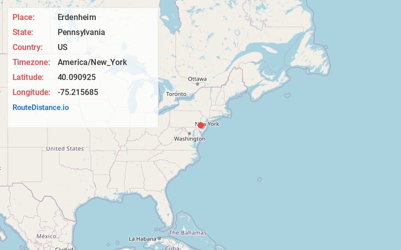
Full AddressErdenheim, PA 19038
-
Coordinates40.0909252, -75.2156845
-
LocationErdenheim , Pennsylvania , US
-
TimezoneAmerica/New_York
-
Current Local Time4:04:57 PM America/New_YorkTuesday, June 10, 2025
-
Page Views0
About Erdenheim
Erdenheim is a community in Springfield Township, Montgomery County, Pennsylvania. It is served by the 19038 ZIP Code. The primary commercial areas are located along Bethlehem Pike.
The name is German for "Earthly Home," and comes from nearby Erdenheim Farm, which was established in 1765 by Johannes Georg Hocker.
Nearby Places
Found 10 places within 50 miles

Flourtown
1.0 mi
1.6 km
Flourtown, PA
Get directions

Wyndmoor
1.5 mi
2.4 km
Wyndmoor, PA 19038
Get directions

Williams
2.0 mi
3.2 km
Williams, PA 19462
Get directions

Whitemarsh Township
2.2 mi
3.5 km
Whitemarsh Township, PA
Get directions

Oreland
2.8 mi
4.5 km
Oreland, PA
Get directions
North Hills
2.9 mi
4.7 km
North Hills, PA 19038
Get directions

Plymouth Meeting
3.2 mi
5.1 km
Plymouth Meeting, PA
Get directions

Glenside
3.4 mi
5.5 km
Glenside, PA
Get directions

Wyncote
3.5 mi
5.6 km
Wyncote, PA 19095
Get directions
Broad Axe
3.6 mi
5.8 km
Broad Axe, PA 19002
Get directions
Location Links
Local Weather
Weather Information
Coming soon!
Location Map
Static map view of Erdenheim, Pennsylvania
Browse Places by Distance
Places within specific distances from Erdenheim
Short Distances
Long Distances
Click any distance to see all places within that range from Erdenheim. Distances shown in miles (1 mile ≈ 1.61 kilometers).