Distance to Essen, Pennsylvania

Calculating Your Route
Just a moment while we process your request...
Location Information
-
Full AddressEssen, Upper St Clair Township, PA 15241
-
Coordinates40.3620138, -80.082277
-
LocationUpper St Clair Township , Pennsylvania , US
-
TimezoneAmerica/New_York
-
Current Local Time7:26:37 PM America/New_YorkMonday, June 16, 2025
-
Page Views0
Nearby Places
Found 10 places within 50 miles

Bridgeville
1.5 mi
2.4 km
Bridgeville, PA 15017
Get directions

Heidelberg
2.1 mi
3.4 km
Heidelberg, PA 15106
Get directions
Broadlawn Highlands
2.5 mi
4.0 km
Broadlawn Highlands, Upper St Clair Township, PA 15241
Get directions

Castle Shannon
3.2 mi
5.1 km
Castle Shannon, PA 15234
Get directions

Carnegie
3.2 mi
5.1 km
Carnegie, PA 15106
Get directions

Bethel Park
3.3 mi
5.3 km
Bethel Park, PA
Get directions

Dormont
3.5 mi
5.6 km
Dormont, PA 15216
Get directions
Jewell
3.6 mi
5.8 km
Jewell, Bethel Park, PA 15102
Get directions
Morgan Hill
3.8 mi
6.1 km
Morgan Hill, Morgan, PA 15064
Get directions
Chartiers Valley School District
4.0 mi
6.4 km
Chartiers Valley School District, PA
Get directions
Location Links
Local Weather
Weather Information
Coming soon!
Location Map
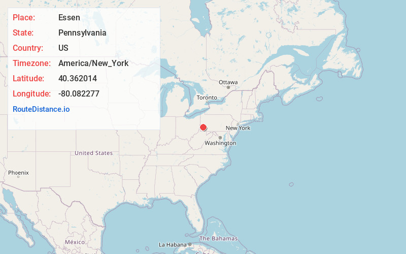
Static map view of Essen, Pennsylvania
Browse Places by Distance
Places within specific distances from Essen
Short Distances
Long Distances
Click any distance to see all places within that range from Essen. Distances shown in miles (1 mile ≈ 1.61 kilometers).