Distance to Estacada, Oregon

Calculating Your Route
Just a moment while we process your request...
Location Information
-
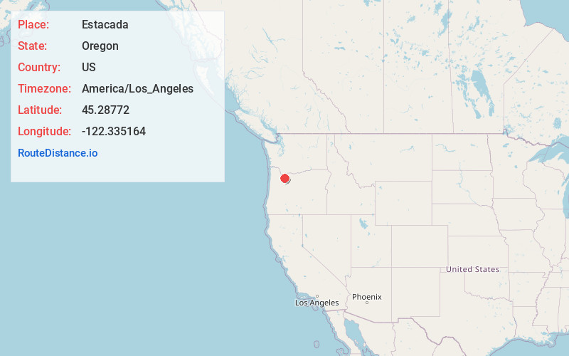
Full AddressEstacada, OR
-
Coordinates45.2877198, -122.3351638
-
LocationEstacada , Oregon , US
-
TimezoneAmerica/Los_Angeles
-
Current Local Time8:53:46 PM America/Los_AngelesThursday, June 12, 2025
-
Website
-
Page Views0
About Estacada
Estacada is a city in Clackamas County, Oregon, United States, about 30 miles southeast of Portland. The population was 4,356 at the 2020 census, and was estimated to be 5,421 in 2023.


Nearby Places
Found 10 places within 50 miles

Sandy
8.3 mi
13.4 km
Sandy, OR
Get directions

Damascus
10.8 mi
17.4 km
Damascus, OR
Get directions

Happy Valley
13.7 mi
22.0 km
Happy Valley, OR
Get directions

Oregon City
14.0 mi
22.5 km
Oregon City, OR 97045
Get directions

Gladstone
14.1 mi
22.7 km
Gladstone, OR
Get directions

Oatfield
15.2 mi
24.5 km
Oatfield, OR
Get directions

Molalla
15.2 mi
24.5 km
Molalla, OR 97038
Get directions
Jennings Lodge
15.3 mi
24.6 km
Jennings Lodge, OR
Get directions

West Linn
15.3 mi
24.6 km
West Linn, OR
Get directions

Gresham
15.8 mi
25.4 km
Gresham, OR
Get directions
Location Links
Local Weather
Weather Information
Coming soon!
Location Map
Static map view of Estacada, Oregon
Browse Places by Distance
Places within specific distances from Estacada
Short Distances
Long Distances
Click any distance to see all places within that range from Estacada. Distances shown in miles (1 mile ≈ 1.61 kilometers).