Distance to Ether, North Carolina

Calculating Your Route
Just a moment while we process your request...
Location Information
-
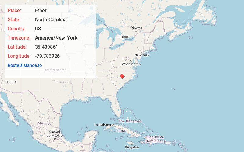
Full AddressEther, NC 27356
-
Coordinates35.4398606, -79.7839262
-
LocationEther , North Carolina , US
-
TimezoneAmerica/New_York
-
Current Local Time6:44:32 PM America/New_YorkTuesday, June 17, 2025
-
Page Views0
About Ether
Ether is an unincorporated community in the northeastern part of Montgomery County, North Carolina, United States. The ZIP Code for Ether is 27247. The building pictured is the Ether Roller mill, a site that tax records place as being built in 1800. This has been used as a local spooky attraction.
Nearby Places
Found 10 places within 50 miles

Allreds
1.5 mi
2.4 km
Allreds, NC 27356
Get directions
Steeds
2.2 mi
3.5 km
Steeds, NC 27341
Get directions

Star
2.6 mi
4.2 km
Star, NC 27356
Get directions
Okeewemee
4.5 mi
7.2 km
Okeewemee, NC 27371
Get directions

Biscoe
5.5 mi
8.9 km
Biscoe, NC 27209
Get directions
Westmoore
5.8 mi
9.3 km
Westmoore, NC 27341
Get directions

Seagrove
7.0 mi
11.3 km
Seagrove, NC
Get directions
Lovejoy
7.7 mi
12.4 km
Lovejoy, NC 27371
Get directions

Troy
8.4 mi
13.5 km
Troy, NC 27371
Get directions
Aumans Crossroads
8.8 mi
14.2 km
Aumans Crossroads, NC 27205
Get directions
Location Links
Local Weather
Weather Information
Coming soon!
Location Map
Static map view of Ether, North Carolina
Browse Places by Distance
Places within specific distances from Ether
Short Distances
Long Distances
Click any distance to see all places within that range from Ether. Distances shown in miles (1 mile ≈ 1.61 kilometers).