Distance to Euclid, Pennsylvania

Calculating Your Route
Just a moment while we process your request...
Location Information
-
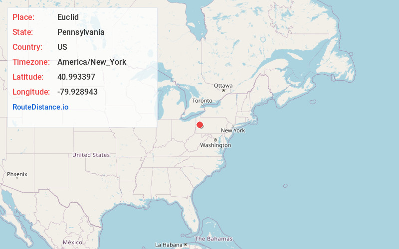
Full AddressEuclid, Clay Township, PA 16001
-
Coordinates40.9933967, -79.9289433
-
LocationClay Township , Pennsylvania , US
-
TimezoneAmerica/New_York
-
Current Local Time1:45:06 PM America/New_YorkThursday, May 22, 2025
-
Page Views0
Nearby Places
Found 10 places within 50 miles

Sherwin
1.1 mi
1.8 km
Sherwin, Clay Township, PA 16001
Get directions

West Sunbury
2.0 mi
3.2 km
West Sunbury, PA 16061
Get directions
Coaltown
4.2 mi
6.8 km
Coaltown, Cherry Township, PA 16057
Get directions
Shanor-Northvue
5.5 mi
8.9 km
Shanor-Northvue, PA 16001
Get directions
Doughertys Mills
6.1 mi
9.8 km
Doughertys Mills, Slippery Rock Township, PA 16057
Get directions
West Liberty
6.5 mi
10.5 km
West Liberty, PA 16057
Get directions
Peaceful Valley
6.6 mi
10.6 km
Peaceful Valley, Washington Township, PA 16050
Get directions
Whiskerville
6.9 mi
11.1 km
Whiskerville, PA 16040
Get directions
Wick
8.0 mi
12.9 km
Wick, PA 16057
Get directions
Hilliards
8.1 mi
13.0 km
Hilliards, PA 16040
Get directions
Location Links
Local Weather
Weather Information
Coming soon!
Location Map
Static map view of Euclid, Pennsylvania
Browse Places by Distance
Places within specific distances from Euclid
Short Distances
Long Distances
Click any distance to see all places within that range from Euclid. Distances shown in miles (1 mile ≈ 1.61 kilometers).