Distance to Eula, Texas

Calculating Your Route
Just a moment while we process your request...
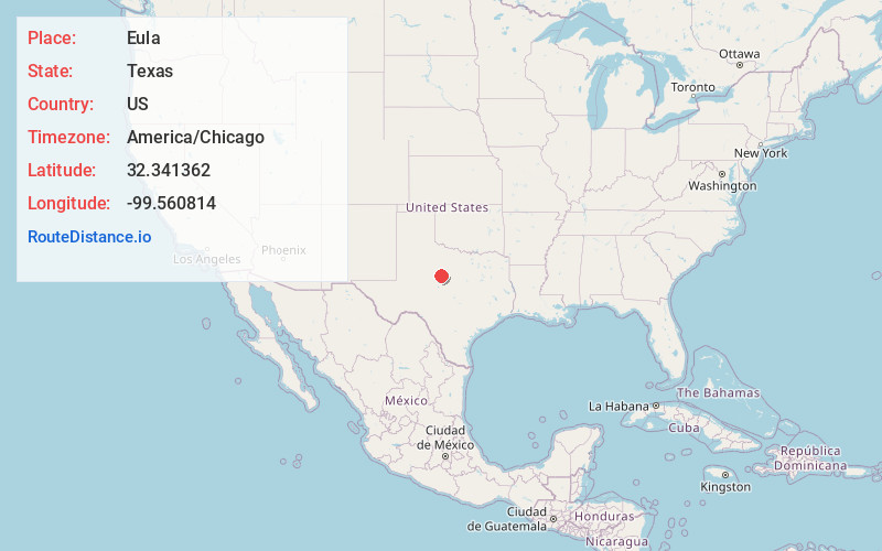
Location Information
-
Full AddressEula, TX 79510
-
Coordinates32.3413619, -99.5608139
-
LocationEula , Texas , US
-
TimezoneAmerica/Chicago
-
Current Local Time8:46:58 PM America/ChicagoWednesday, June 25, 2025
-
Page Views0
About Eula
Eula is an unincorporated community in Callahan County, Texas, United States. According to the Handbook of Texas, the community had a population of 125 in 2000. It is part of the Abilene, Texas Metropolitan Statistical Area.
Nearby Places
Found 10 places within 50 miles

Potosi
5.6 mi
9.0 km
Potosi, TX 79602
Get directions

Clyde
5.9 mi
9.5 km
Clyde, TX 79510
Get directions

Dudley
6.3 mi
10.1 km
Dudley, TX 79602
Get directions

Baird
10.4 mi
16.7 km
Baird, TX
Get directions

Abilene
12.6 mi
20.3 km
Abilene, TX
Get directions
Oplin
14.0 mi
22.5 km
Oplin, TX 79510
Get directions
Jayell
14.2 mi
22.9 km
Jayell, TX 79504
Get directions
Admiral
15.7 mi
25.3 km
Admiral, TX 79504
Get directions
Rowden
15.8 mi
25.4 km
Rowden, TX 79504
Get directions

Buffalo Gap
16.3 mi
26.2 km
Buffalo Gap, TX 79508
Get directions
Location Links
Local Weather
Weather Information
Coming soon!
Location Map
Static map view of Eula, Texas
Browse Places by Distance
Places within specific distances from Eula
Short Distances
Long Distances
Click any distance to see all places within that range from Eula. Distances shown in miles (1 mile ≈ 1.61 kilometers).