Distance to Evergreen, North Carolina

Calculating Your Route
Just a moment while we process your request...
Location Information
-
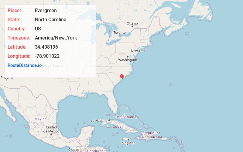
Full AddressEvergreen, NC 28438
-
Coordinates34.4081955, -78.9010216
-
LocationEvergreen , North Carolina , US
-
TimezoneAmerica/New_York
-
Current Local Time9:25:21 AM America/New_YorkSaturday, June 21, 2025
-
Page Views0
About Evergreen
Evergreen is an unincorporated community and census-designated place in Tatums Township, Columbus County, North Carolina, United States. It lies on North Carolina Highway 242, north of U.S. Route 74 and NC 130, at an elevation of 108 feet. The population was 420 at the 2010 census.
Nearby Places
Found 10 places within 50 miles

Cerro Gordo
6.1 mi
9.8 km
Cerro Gordo, NC
Get directions

Chadbourn
7.3 mi
11.7 km
Chadbourn, NC 28431
Get directions

Fair Bluff
10.0 mi
16.1 km
Fair Bluff, NC
Get directions
Bladenboro
11.1 mi
17.9 km
Bladenboro, NC 28320
Get directions
Whiteville
12.3 mi
19.8 km
Whiteville, NC 28472
Get directions

Fairmont
13.6 mi
21.9 km
Fairmont, NC 28340
Get directions
Clarkton
15.0 mi
24.1 km
Clarkton, NC 28433
Get directions
Lake View
15.7 mi
25.3 km
Lake View, SC 29563
Get directions

Lumberton
15.8 mi
25.4 km
Lumberton, NC
Get directions

Tabor City
18.0 mi
29.0 km
Tabor City, NC 28463
Get directions
Location Links
Local Weather
Weather Information
Coming soon!
Location Map
Static map view of Evergreen, North Carolina
Browse Places by Distance
Places within specific distances from Evergreen
Short Distances
Long Distances
Click any distance to see all places within that range from Evergreen. Distances shown in miles (1 mile ≈ 1.61 kilometers).