Distance to Excello, Ohio

Calculating Your Route
Just a moment while we process your request...
Location Information
-
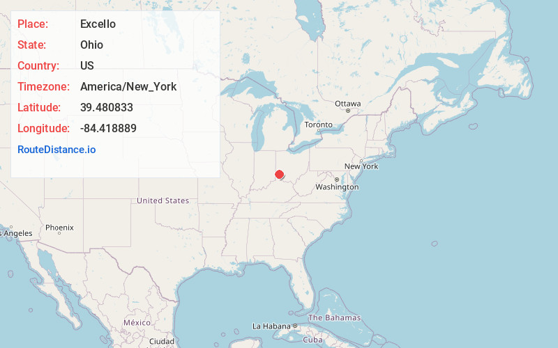
Full AddressExcello, OH 45044
-
Coordinates39.4808329, -84.4188889
-
LocationExcello , Ohio , US
-
TimezoneAmerica/New_York
-
Current Local Time9:59:33 PM America/New_YorkWednesday, June 18, 2025
-
Page Views0
About Excello
Excello is an unincorporated community in central Lemon Township, Butler County, Ohio, United States, on the south side of Middletown. It comprises roughly the area south of Oxford State Road and State Route 73, west of State Route 4, and east of the Great Miami River.
Nearby Places
Found 10 places within 50 miles

Trenton
2.1 mi
3.4 km
Trenton, OH
Get directions

Middletown
2.6 mi
4.2 km
Middletown, OH
Get directions

Miltonville
2.6 mi
4.2 km
Miltonville, OH 45067
Get directions
Le Sourdsville
2.9 mi
4.7 km
Le Sourdsville, Monroe, OH 45050
Get directions
West Middletown
3.0 mi
4.8 km
West Middletown, OH 45042
Get directions
Busenbark
3.7 mi
6.0 km
Busenbark, St Clair Township, OH 45067
Get directions

Monroe
4.0 mi
6.4 km
Monroe, OH
Get directions
Rose Lawn
4.1 mi
6.6 km
Rose Lawn, Middletown, OH 45042
Get directions
Woodsdale
4.4 mi
7.1 km
Woodsdale, OH
Get directions
Kyles
4.5 mi
7.2 km
Kyles, Liberty Township, OH 45044
Get directions
Location Links
Local Weather
Weather Information
Coming soon!
Location Map
Static map view of Excello, Ohio
Browse Places by Distance
Places within specific distances from Excello
Short Distances
Long Distances
Click any distance to see all places within that range from Excello. Distances shown in miles (1 mile ≈ 1.61 kilometers).