Distance to Exie, Kentucky

Calculating Your Route
Just a moment while we process your request...
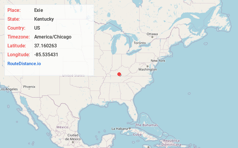
Location Information
-
Full AddressExie, KY 42743
-
Coordinates37.160263, -85.535431
-
LocationExie , Kentucky , US
-
TimezoneAmerica/Chicago
-
Current Local Time5:04:33 PM America/ChicagoThursday, June 19, 2025
-
Page Views0
About Exie
Exie is an unincorporated community in Green County, Kentucky, United States. It lies at the intersection of U.S. Route 68 with Kentucky Routes 487 and 745, south of the city of Greensburg, the county seat of Green County. Its elevation is 801 feet.

Nearby Places
Found 10 places within 50 miles

Newt
2.1 mi
3.4 km
Newt, KY 42743
Get directions
Liletown
2.9 mi
4.7 km
Liletown, KY 42743
Get directions
Mell
3.3 mi
5.3 km
Mell, KY 42743
Get directions
Thurlow
3.6 mi
5.8 km
Thurlow, KY 42743
Get directions
Bramlett
4.1 mi
6.6 km
Bramlett, KY 42743
Get directions
Pickett
4.2 mi
6.8 km
Pickett, KY 42728
Get directions
Gresham
5.3 mi
8.5 km
Gresham, KY 42743
Get directions
Portland
5.7 mi
9.2 km
Portland, KY 42728
Get directions
Node
6.3 mi
10.1 km
Node, KY 42129
Get directions

Green County
6.8 mi
10.9 km
Green County, KY
Get directions
Location Links
Local Weather
Weather Information
Coming soon!
Location Map
Static map view of Exie, Kentucky
Browse Places by Distance
Places within specific distances from Exie
Short Distances
Long Distances
Click any distance to see all places within that range from Exie. Distances shown in miles (1 mile ≈ 1.61 kilometers).