Distance to Fair Oaks, Oregon

Calculating Your Route
Just a moment while we process your request...
Location Information
-
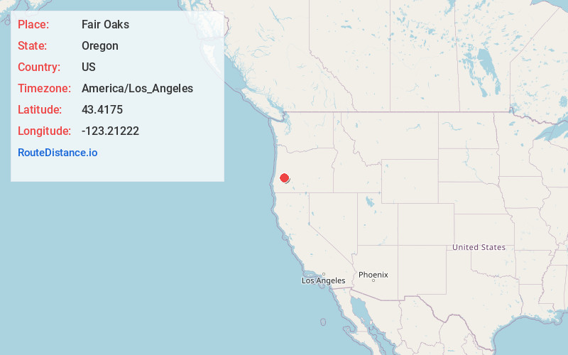
Full AddressFair Oaks, OR
-
Coordinates43.4174999, -123.21222
-
LocationFair Oaks , Oregon , US
-
TimezoneAmerica/Los_Angeles
-
Current Local Time1:55:39 PM America/Los_AngelesWednesday, June 18, 2025
-
Page Views0
About Fair Oaks
Fair Oaks is an unincorporated community and census-designated place in Douglas County, in the U.S. state of Oregon. It lies at the south end of Driver Valley and along Calapooya Creek, between Sutherlin and Nonpareil by road and upstream from Oakland along the creek. As of the 2010 census, it had a population of 278.
Nearby Places
Found 10 places within 50 miles

Oakland
4.3 mi
6.9 km
Oakland, OR 97462
Get directions

Sutherlin
5.4 mi
8.7 km
Sutherlin, OR
Get directions

Glide
9.8 mi
15.8 km
Glide, OR
Get directions

Roseburg North
11.5 mi
18.5 km
Roseburg North, OR
Get directions

Yoncalla
13.0 mi
20.9 km
Yoncalla, OR 97499
Get directions

Roseburg
15.3 mi
24.6 km
Roseburg, OR
Get directions

Melrose
17.1 mi
27.5 km
Melrose, OR 97471
Get directions

Drain
17.5 mi
28.2 km
Drain, OR
Get directions

Green
19.4 mi
31.2 km
Green, OR 97471
Get directions

Lookingglass
21.5 mi
34.6 km
Lookingglass, OR 97471
Get directions
Location Links
Local Weather
Weather Information
Coming soon!
Location Map
Static map view of Fair Oaks, Oregon
Browse Places by Distance
Places within specific distances from Fair Oaks
Short Distances
Long Distances
Click any distance to see all places within that range from Fair Oaks. Distances shown in miles (1 mile ≈ 1.61 kilometers).