Distance to Falcon Heights, Minnesota

Calculating Your Route
Just a moment while we process your request...
Location Information
-
Full AddressFalcon Heights, MN
-
Coordinates44.9916323, -93.166333
-
LocationFalcon Heights , Minnesota , US
-
TimezoneAmerica/Chicago
-
Current Local Time9:01:04 AM America/ChicagoSunday, June 1, 2025
-
Website
-
Page Views0
About Falcon Heights
Falcon Heights is a suburb of Saint Paul and a city in Ramsey County, Minnesota, United States. The population was 5,369 at the 2020 census. It became a village on April 1, 1949, and a city in 1973.


Nearby Places
Found 10 places within 50 miles

Roseville
1.1 mi
1.8 km
Roseville, MN 55113
Get directions

St Anthony
3.2 mi
5.1 km
St Anthony, MN
Get directions

Arden Hills
4.1 mi
6.6 km
Arden Hills, MN
Get directions

Little Canada
4.5 mi
7.2 km
Little Canada, MN
Get directions

St Paul
4.6 mi
7.4 km
St Paul, MN
Get directions

Minneapolis
4.9 mi
7.9 km
Minneapolis, MN
Get directions

New Brighton
5.4 mi
8.7 km
New Brighton, MN 55112
Get directions

Columbia Heights
5.6 mi
9.0 km
Columbia Heights, MN 55421
Get directions

West St Paul
6.1 mi
9.8 km
West St Paul, MN 55118
Get directions

Shoreview
6.1 mi
9.8 km
Shoreview, MN 55126
Get directions
Location Links
Local Weather
Weather Information
Coming soon!
Location Map
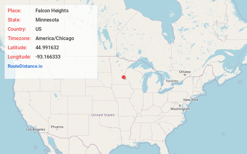
Static map view of Falcon Heights, Minnesota
Browse Places by Distance
Places within specific distances from Falcon Heights
Short Distances
Long Distances
Click any distance to see all places within that range from Falcon Heights. Distances shown in miles (1 mile ≈ 1.61 kilometers).