Distance to Fall Creek, Illinois

Calculating Your Route
Just a moment while we process your request...
Location Information
-
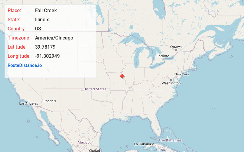
Full AddressFall Creek, IL 62305
-
Coordinates39.7817903, -91.3029493
-
LocationFall Creek , Illinois , US
-
TimezoneAmerica/Chicago
-
Current Local Time4:20:10 AM America/ChicagoWednesday, June 18, 2025
-
Page Views0
About Fall Creek
Fall Creek is an unincorporated community and census-designated place in Fall Creek Township, Adams County, Illinois, United States. Fall Creek is located along Interstate 172 southwest of Payson.
Fall Creek takes its name from a nearby creek of the same name, which was named for a waterfall along its course.

Nearby Places
Found 10 places within 50 miles

Payson
4.0 mi
6.4 km
Payson, IL
Get directions

Hannibal
5.9 mi
9.5 km
Hannibal, MO 63401
Get directions

Plainville
6.4 mi
10.3 km
Plainville, IL 62365
Get directions
Hull
7.3 mi
11.7 km
Hull, IL 62343
Get directions
Adams
8.0 mi
12.9 km
Adams, IL 62347
Get directions
Burton
9.0 mi
14.5 km
Burton, IL 62305
Get directions
Saverton
9.5 mi
15.3 km
Saverton, MO
Get directions
Kinderhook
9.7 mi
15.6 km
Kinderhook, IL 62345
Get directions

Palmyra
11.7 mi
18.8 km
Palmyra, MO 63461
Get directions

Quincy
12.0 mi
19.3 km
Quincy, IL
Get directions
Location Links
Local Weather
Weather Information
Coming soon!
Location Map
Static map view of Fall Creek, Illinois
Browse Places by Distance
Places within specific distances from Fall Creek
Short Distances
Long Distances
Click any distance to see all places within that range from Fall Creek. Distances shown in miles (1 mile ≈ 1.61 kilometers).