Distance to Fall Creek Falls State Park, Tennessee

Calculating Your Route
Just a moment while we process your request...
Location Information
-
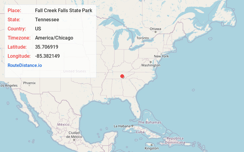
Full AddressFall Creek Falls State Park, 2009 Village Camp Rd, Spencer, TN 38585
-
Coordinates35.7069187, -85.3821486
-
Street2009 Village Camp Rd
-
LocationSpencer , Tennessee , US
-
TimezoneAmerica/Chicago
-
Current Local Time6:21:09 PM America/ChicagoSaturday, June 14, 2025
-
Page Views0
About Fall Creek Falls State Park
Vast recreation area with a lodge, camping & a restaurant, plus an 18-hole championship golf course.


Nearby Places
Found 10 places within 50 miles

Fall Creek Falls
3.2 mi
5.1 km
Fall Creek Falls, Tennessee 37367
Get directions

Mooneyham
3.7 mi
6.0 km
Mooneyham, TN 38585
Get directions
Phiferes
4.6 mi
7.4 km
Phiferes, TN 38585
Get directions

Van Buren County
5.4 mi
8.7 km
Van Buren County, TN
Get directions

Spencer
5.5 mi
8.9 km
Spencer, TN 38585
Get directions
Pine Grove
5.8 mi
9.3 km
Pine Grove, TN 38585
Get directions
Sweetgum
6.2 mi
10.0 km
Sweetgum, TN 38585
Get directions
Pine Creek
6.3 mi
10.1 km
Pine Creek, TN 38585
Get directions
Sampson
6.5 mi
10.5 km
Sampson, TN 37367
Get directions
Lonewood
6.8 mi
10.9 km
Lonewood, TN 38585
Get directions
Location Links
Local Weather
Weather Information
Coming soon!
Location Map
Static map view of Fall Creek Falls State Park, Tennessee
Browse Places by Distance
Places within specific distances from Fall Creek Falls State Park
Short Distances
Long Distances
Click any distance to see all places within that range from Fall Creek Falls State Park. Distances shown in miles (1 mile ≈ 1.61 kilometers).