Distance to Falls Mill, West Virginia

Calculating Your Route
Just a moment while we process your request...
Location Information
-
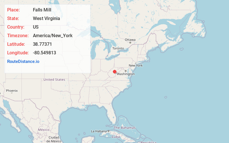
Full AddressFalls Mill, WV 26627
-
Coordinates38.7737104, -80.5498125
-
LocationFalls Mill , West Virginia , US
-
TimezoneAmerica/New_York
-
Current Local Time7:38:47 AM America/New_YorkSunday, June 29, 2025
-
Page Views0
About Falls Mill
Falls Mill is an unincorporated community along U.S. Route 19 and West Virginia Route 4 in Braxton County, West Virginia, United States. The community is named for the nearby falls on the Little Kanawha River, where a mill formerly stood. The falls now mark the upstream limit of Burnsville Lake.


Nearby Places
Found 10 places within 50 miles

Gregory
2.4 mi
3.9 km
Gregory, WV 26631
Get directions
Napier
2.4 mi
3.9 km
Napier, WV 26631
Get directions
Hettie
3.3 mi
5.3 km
Hettie, WV 26631
Get directions
Joppa
3.3 mi
5.3 km
Joppa, WV 26376
Get directions
Corley
3.7 mi
6.0 km
Corley, WV 26621
Get directions
Knawl
3.8 mi
6.1 km
Knawl, WV 26412
Get directions
Caress
4.8 mi
7.7 km
Caress, WV 26601
Get directions

Ireland
5.6 mi
9.0 km
Ireland, WV 26376
Get directions
Bablin
6.1 mi
9.8 km
Bablin, WV 26376
Get directions

Flatwoods
6.4 mi
10.3 km
Flatwoods, WV
Get directions
Location Links
Local Weather
Weather Information
Coming soon!
Location Map
Static map view of Falls Mill, West Virginia
Browse Places by Distance
Places within specific distances from Falls Mill
Short Distances
Long Distances
Click any distance to see all places within that range from Falls Mill. Distances shown in miles (1 mile ≈ 1.61 kilometers).