Distance to Falls Mills, Virginia

Calculating Your Route
Just a moment while we process your request...
Location Information
-
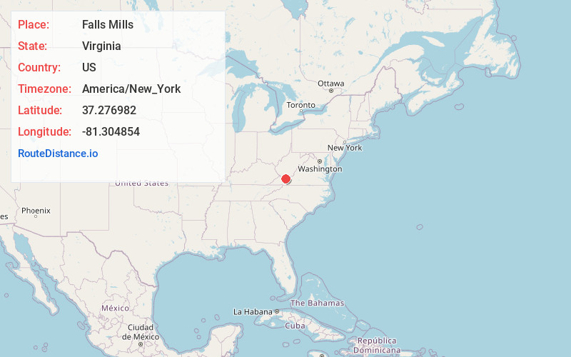
Full AddressFalls Mills, VA 24613
-
Coordinates37.2769818, -81.3048542
-
LocationFalls Mills , Virginia , US
-
TimezoneAmerica/New_York
-
Current Local Time10:10:38 PM America/New_YorkWednesday, June 25, 2025
-
Page Views0
About Falls Mills
Falls Mills is an unincorporated community and census-designated place along Virginia State Route 102 in Tazewell County, Virginia, United States and is located at the mouth of the valley of Mud Fork creek. It is part of the Bluefield, WV-VA micropolitan area, which has a population of 107,578.

Nearby Places
Found 10 places within 50 miles

Bluefield
2.5 mi
4.0 km
Bluefield, VA 24605
Get directions

Brush Fork
2.7 mi
4.3 km
Brush Fork, WV 24701
Get directions

Bramwell
3.3 mi
5.3 km
Bramwell, WV
Get directions
Bluewell
3.5 mi
5.6 km
Bluewell, WV 24701
Get directions
Boissevain
4.2 mi
6.8 km
Boissevain, VA 24605
Get directions

Bluefield
4.6 mi
7.4 km
Bluefield, WV
Get directions
Montcalm
6.0 mi
9.7 km
Montcalm, WV
Get directions

Maybeury
7.3 mi
11.7 km
Maybeury, WV
Get directions
Anawalt
8.3 mi
13.4 km
Anawalt, WV 24808
Get directions
Abbs Valley
8.4 mi
13.5 km
Abbs Valley, VA 24605
Get directions
Location Links
Local Weather
Weather Information
Coming soon!
Location Map
Static map view of Falls Mills, Virginia
Browse Places by Distance
Places within specific distances from Falls Mills
Short Distances
Long Distances
Click any distance to see all places within that range from Falls Mills. Distances shown in miles (1 mile ≈ 1.61 kilometers).