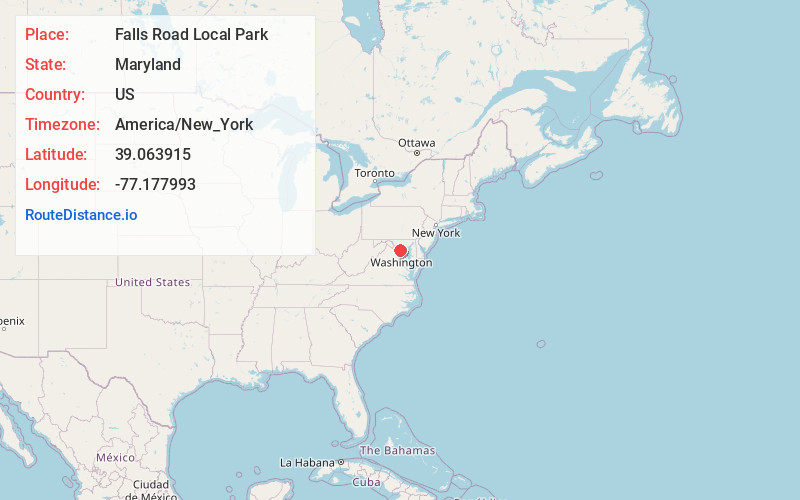
Distance to Falls Road Local Park, Maryland

Calculating Your Route
Just a moment while we process your request...
Location Information
-
Full AddressFalls Rd Park, 12600 Falls Rd, Potomac, MD 20854
-
Coordinates39.0639147, -77.1779925
-
Street12600 Falls Rd
-
LocationPotomac , Maryland , US
-
TimezoneAmerica/New_York
-
Current Local Time5:23:46 PM America/New_YorkSunday, June 15, 2025
-
Page Views0
About Falls Road Local Park
20-acre green space with baseball & soccer fields, walking trails & a fully accessible playground.


Nearby Places
Found 10 places within 50 miles

Rockville
1.9 mi
3.1 km
Rockville, MD
Get directions

Beantown
3.0 mi
4.8 km
Beantown, Rockville, MD 20850
Get directions

North Bethesda
3.4 mi
5.5 km
North Bethesda, MD
Get directions

Potomac
3.6 mi
5.8 km
Potomac, MD
Get directions

Travilah
3.8 mi
6.1 km
Travilah, MD
Get directions

Derwood
3.8 mi
6.1 km
Derwood, MD 20855
Get directions

North Potomac
3.8 mi
6.1 km
North Potomac, MD
Get directions
Garrett Park
4.9 mi
7.9 km
Garrett Park, MD
Get directions

Washington Grove
5.2 mi
8.4 km
Washington Grove, MD
Get directions
Connecticut Avenue Park
5.4 mi
8.7 km
Connecticut Avenue Park, Wheaton-Glenmont, MD 20906
Get directions
Location Links
Local Weather
Weather Information
Coming soon!
Location Map
Static map view of Falls Road Local Park, Maryland
Browse Places by Distance
Places within specific distances from Falls Road Local Park
Short Distances
Long Distances
Click any distance to see all places within that range from Falls Road Local Park. Distances shown in miles (1 mile ≈ 1.61 kilometers).