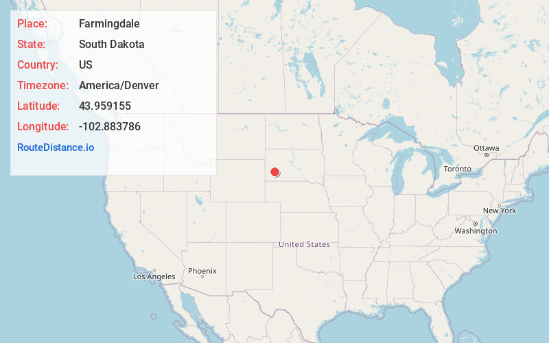
Distance to Farmingdale, South Dakota

Calculating Your Route
Just a moment while we process your request...
Location Information
-
Full AddressFarmingdale, Rapid City East, SD 57725
-
Coordinates43.959155, -102.8837856
-
LocationRapid City East , South Dakota , US
-
TimezoneAmerica/Denver
-
Current Local Time3:05:16 PM America/DenverThursday, June 19, 2025
-
Page Views0
Nearby Places
Found 10 places within 50 miles

New Underwood
9.6 mi
15.4 km
New Underwood, SD 57761
Get directions

Green Valley
12.4 mi
20.0 km
Green Valley, SD 57703
Get directions
Warbonnet
12.7 mi
20.4 km
Warbonnet, Rapid City East, SD 57703
Get directions

Box Elder
14.0 mi
22.5 km
Box Elder, SD
Get directions
Rapid Valley
14.9 mi
24.0 km
Rapid Valley, SD 57703
Get directions
Ajax
15.4 mi
24.8 km
Ajax, SD 57744
Get directions
Ashland Heights
16.8 mi
27.0 km
Ashland Heights, SD
Get directions

Hermosa
17.4 mi
28.0 km
Hermosa, SD 57744
Get directions

Rapid City
19.2 mi
30.9 km
Rapid City, SD
Get directions

Scenic
20.5 mi
33.0 km
Scenic, SD 57780
Get directions
Location Links
Local Weather
Weather Information
Coming soon!
Location Map
Static map view of Farmingdale, South Dakota
Browse Places by Distance
Places within specific distances from Farmingdale
Short Distances
Long Distances
Click any distance to see all places within that range from Farmingdale. Distances shown in miles (1 mile ≈ 1.61 kilometers).