Distance to Farnsworth, Texas

Calculating Your Route
Just a moment while we process your request...
Location Information
-
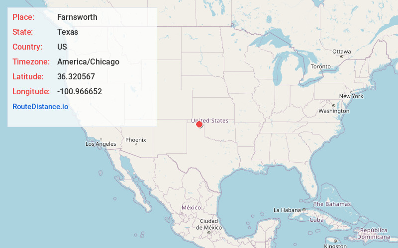
Full AddressFarnsworth, TX 79033
-
Coordinates36.3205667, -100.9666516
-
LocationFarnsworth , Texas , US
-
TimezoneAmerica/Chicago
-
Current Local Time10:21:59 AM America/ChicagoSaturday, May 24, 2025
-
Page Views0
About Farnsworth
Farnsworth is a census designated place in western Ochiltree County, Texas, United States. It lies at the intersection of State Highway 15 with FM376, southwest of the city of Perryton, the county seat of Ochiltree County. Its elevation is 2,995 feet.
Nearby Places
Found 10 places within 50 miles

Waka
5.1 mi
8.2 km
Waka, TX 79093
Get directions

Perryton
10.7 mi
17.2 km
Perryton, TX 79070
Get directions

Spearman
15.1 mi
24.3 km
Spearman, TX 79081
Get directions

Hardesty
23.9 mi
38.5 km
Hardesty, OK 73944
Get directions
Gruver
24.8 mi
39.9 km
Gruver, TX 79040
Get directions

Booker
25.6 mi
41.2 km
Booker, TX 79005
Get directions

Adams
30.7 mi
49.4 km
Adams, OK 73901
Get directions
Morse
33.5 mi
53.9 km
Morse, TX 79062
Get directions
Darrouzett
36.7 mi
59.1 km
Darrouzett, TX
Get directions

Optima
37.2 mi
59.9 km
Optima, OK 73945
Get directions
Location Links
Local Weather
Weather Information
Coming soon!
Location Map
Static map view of Farnsworth, Texas
Browse Places by Distance
Places within specific distances from Farnsworth
Short Distances
Long Distances
Click any distance to see all places within that range from Farnsworth. Distances shown in miles (1 mile ≈ 1.61 kilometers).