Distance to Felt, Idaho

Calculating Your Route
Just a moment while we process your request...
Location Information
-
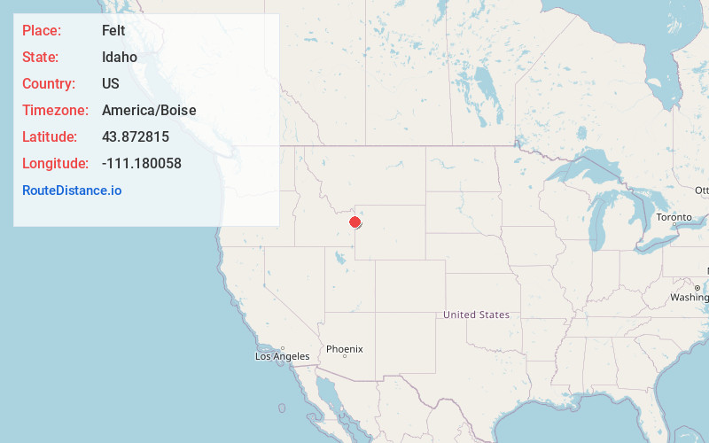
Full AddressFelt, ID 83424
-
Coordinates43.8728149, -111.1800578
-
LocationFelt , Idaho , US
-
TimezoneAmerica/Boise
-
Current Local Time8:33:12 AM America/BoiseMonday, June 23, 2025
-
Page Views0
About Felt
Felt is an unincorporated community in Teton County, Idaho, United States. Felt is located on Idaho State Highway 32, 4 miles north-northeast of Tetonia. Felt no longer has a post office, but its ZIP code is 83424.
Nearby Places
Found 10 places within 50 miles

Judkins
3.7 mi
6.0 km
Judkins, ID 83452
Get directions

Tetonia
4.2 mi
6.8 km
Tetonia, ID 83452
Get directions
Clawson
6.3 mi
10.1 km
Clawson, ID 83452
Get directions

Lamont
6.9 mi
11.1 km
Lamont, ID 83420
Get directions
France
8.4 mi
13.5 km
France, ID 83420
Get directions
Clementsville
9.5 mi
15.3 km
Clementsville, ID 83452
Get directions
Twin Forks
9.8 mi
15.8 km
Twin Forks, ID 83422
Get directions

Alta
10.9 mi
17.5 km
Alta, WY 83414
Get directions

Driggs
10.9 mi
17.5 km
Driggs, ID
Get directions
Two Forks
11.0 mi
17.7 km
Two Forks, ID 83422
Get directions
Location Links
Local Weather
Weather Information
Coming soon!
Location Map
Static map view of Felt, Idaho
Browse Places by Distance
Places within specific distances from Felt
Short Distances
Long Distances
Click any distance to see all places within that range from Felt. Distances shown in miles (1 mile ≈ 1.61 kilometers).