Distance to Ferguson, North Carolina

Calculating Your Route
Just a moment while we process your request...
Location Information
-
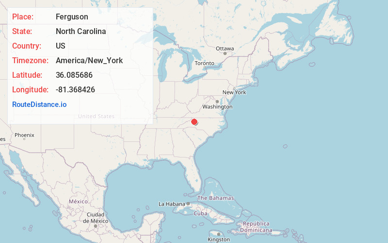
Full AddressFerguson, NC 28624
-
Coordinates36.085686, -81.368426
-
LocationFerguson , North Carolina , US
-
TimezoneAmerica/New_York
-
Current Local Time5:33:55 AM America/New_YorkWednesday, June 18, 2025
-
Page Views0
About Ferguson
Ferguson is an unincorporated community in Wilkes County, North Carolina, United States. Ferguson is located on North Carolina Highway 268, 12.3 miles west-southwest of Wilkesboro. Ferguson has a post office with ZIP code 28624.

Nearby Places
Found 10 places within 50 miles

Elkville
2.2 mi
3.5 km
Elkville, NC 28624
Get directions
Maple Springs
6.2 mi
10.0 km
Maple Springs, NC 28665
Get directions
Mt Zion
6.4 mi
10.3 km
Mt Zion, NC 28624
Get directions
Harley
7.8 mi
12.6 km
Harley, NC 28665
Get directions
Purlear
8.1 mi
13.0 km
Purlear, NC 28665
Get directions
Parsonville
9.0 mi
14.5 km
Parsonville, NC 28665
Get directions

Millers Creek
10.2 mi
16.4 km
Millers Creek, NC 28651
Get directions

Moravian Falls
10.4 mi
16.7 km
Moravian Falls, NC
Get directions
Cedar Rock
11.0 mi
17.7 km
Cedar Rock, NC 28645
Get directions

Cricket
11.4 mi
18.3 km
Cricket, NC
Get directions
Location Links
Local Weather
Weather Information
Coming soon!
Location Map
Static map view of Ferguson, North Carolina
Browse Places by Distance
Places within specific distances from Ferguson
Short Distances
Long Distances
Click any distance to see all places within that range from Ferguson. Distances shown in miles (1 mile ≈ 1.61 kilometers).