Distance to Ferry Pass, Florida

Calculating Your Route
Just a moment while we process your request...
Location Information
-
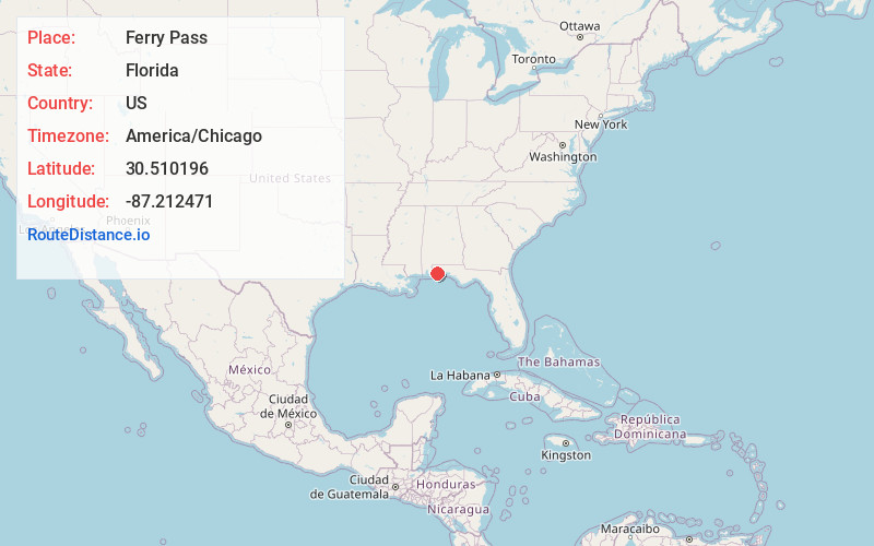
Full AddressFerry Pass, FL
-
Coordinates30.5101959, -87.2124711
-
LocationFerry Pass , Florida , US
-
TimezoneAmerica/Chicago
-
Current Local Time4:17:43 AM America/ChicagoWednesday, June 18, 2025
-
Page Views0
About Ferry Pass
Ferry Pass is a census-designated place in Escambia County, Florida. It is considered to be a community within Pensacola. It is a principal community in the Pensacola—Ferry Pass—Brent, Florida Metropolitan Statistical Area, and is located north of Pensacola city limits.

Nearby Places
Found 2 places within 50 miles


Location Links
Local Weather
Weather Information
Coming soon!
Location Map
Static map view of Ferry Pass, Florida
Browse Places by Distance
Places within specific distances from Ferry Pass
Short Distances
Long Distances
Click any distance to see all places within that range from Ferry Pass. Distances shown in miles (1 mile ≈ 1.61 kilometers).