Distance to Finklea, South Carolina

Calculating Your Route
Just a moment while we process your request...
Location Information
-
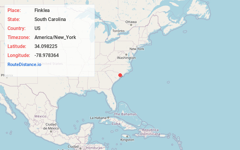
Full AddressFinklea, SC 29569
-
Coordinates34.0982247, -78.9783643
-
LocationFinklea , South Carolina , US
-
TimezoneAmerica/New_York
-
Current Local Time10:38:29 PM America/New_YorkWednesday, June 4, 2025
-
Page Views0
About Finklea
Finklea is an unincorporated community and census-designated place in Horry County, South Carolina, United States. As of the 2020 census it had a population of 291.
The CDP is in northern Horry County, at the intersection of South Carolina Highways 410, 917 and 9 Business.
Nearby Places
Found 10 places within 50 miles

Loris
5.8 mi
9.3 km
Loris, SC 29569
Get directions

Tabor City
6.8 mi
10.9 km
Tabor City, NC 28463
Get directions

Aynor
14.4 mi
23.2 km
Aynor, SC
Get directions

Homewood
15.3 mi
24.6 km
Homewood, SC 29526
Get directions

Mullins
17.4 mi
28.0 km
Mullins, SC 29574
Get directions

Chadbourn
17.7 mi
28.5 km
Chadbourn, NC 28431
Get directions

Conway
18.6 mi
29.9 km
Conway, SC
Get directions
Red Hill
19.3 mi
31.1 km
Red Hill, SC
Get directions
Lake View
20.2 mi
32.5 km
Lake View, SC 29563
Get directions
Centenary
22.1 mi
35.6 km
Centenary, SC 29571
Get directions
Location Links
Local Weather
Weather Information
Coming soon!
Location Map
Static map view of Finklea, South Carolina
Browse Places by Distance
Places within specific distances from Finklea
Short Distances
Long Distances
Click any distance to see all places within that range from Finklea. Distances shown in miles (1 mile ≈ 1.61 kilometers).