Distance to Finksburg, Maryland

Calculating Your Route
Just a moment while we process your request...
Location Information
-
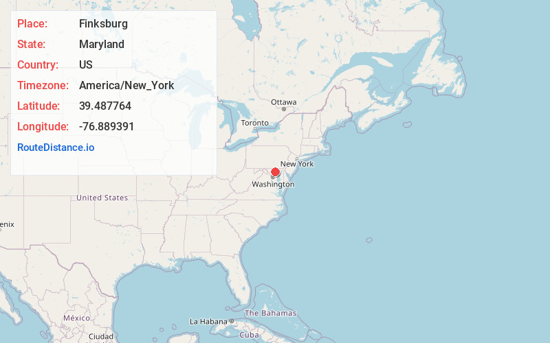
Full AddressFinksburg, MD
-
Coordinates39.4877635, -76.8893907
-
LocationFinksburg , Maryland , US
-
TimezoneAmerica/New_York
-
Current Local Time3:03:38 AM America/New_YorkFriday, June 20, 2025
-
Page Views0
About Finksburg
Finksburg is an unincorporated community in Carroll County, Maryland, United States. It is the location of the National Security Agency's EKMS Central Facility. Finksburg is located at the intersection of Maryland Routes 91 and 140, on the border of Carroll and Baltimore counties.
Nearby Places
Found 10 places within 50 miles

Lawndale
2.4 mi
3.9 km
Lawndale, MD 21048
Get directions
Sandyville
3.2 mi
5.1 km
Sandyville, MD 21048
Get directions

Reisterstown
3.4 mi
5.5 km
Reisterstown, MD
Get directions
Bird Hill
4.3 mi
6.9 km
Bird Hill, MD 21157
Get directions
Klee Mill
4.5 mi
7.2 km
Klee Mill, MD 21157
Get directions
Chartley
4.5 mi
7.2 km
Chartley, Reisterstown, MD 21136
Get directions
Tyler
4.6 mi
7.4 km
Tyler, MD 21136
Get directions
Lees Mill
4.6 mi
7.4 km
Lees Mill, MD 21155
Get directions

Boring
4.7 mi
7.6 km
Boring, MD 21155
Get directions
Fowblesburg
4.8 mi
7.7 km
Fowblesburg, MD 21155
Get directions
Location Links
Local Weather
Weather Information
Coming soon!
Location Map
Static map view of Finksburg, Maryland
Browse Places by Distance
Places within specific distances from Finksburg
Short Distances
Long Distances
Click any distance to see all places within that range from Finksburg. Distances shown in miles (1 mile ≈ 1.61 kilometers).