Distance to Fir Mountain, Oregon

Calculating Your Route
Just a moment while we process your request...
Location Information
-
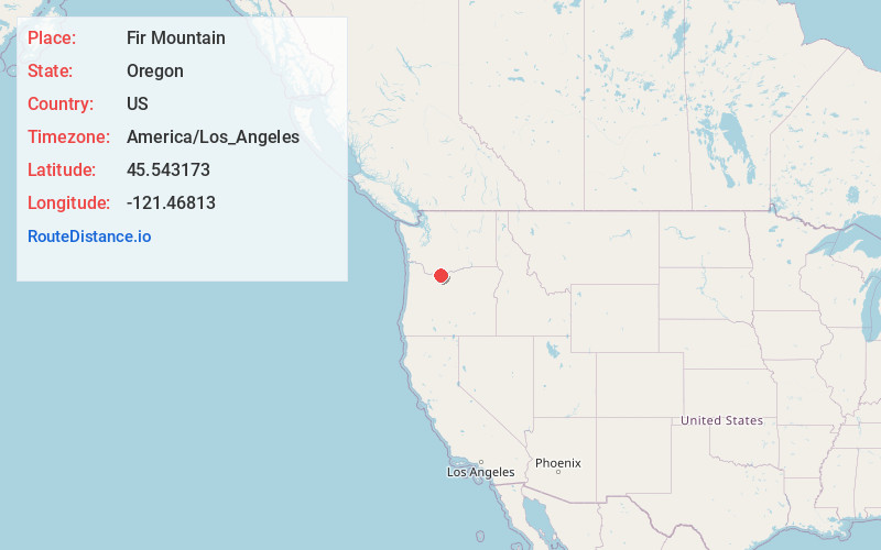
Full AddressFir Mountain, Oregon 97031
-
Coordinates45.5431725, -121.4681295
-
LocationOregon , US
-
TimezoneAmerica/Los_Angeles
-
Current Local Time4:51:04 PM America/Los_AngelesMonday, June 16, 2025
-
Page Views0

Nearby Places
Found 10 places within 50 miles

Parkdale
6.4 mi
10.3 km
Parkdale, OR 97041
Get directions

Odell
6.8 mi
10.9 km
Odell, OR 97031
Get directions

Dee
8.3 mi
13.4 km
Dee, OR 97041
Get directions

Mosier
10.3 mi
16.6 km
Mosier, OR 97040
Get directions

Straight Point
11.2 mi
18.0 km
Straight Point, WA 98605
Get directions

Hood River
11.6 mi
18.7 km
Hood River, OR 97031
Get directions
Ortley
11.7 mi
18.8 km
Ortley, OR 97058
Get directions
Cherry Heights
11.7 mi
18.8 km
Cherry Heights, OR 97058
Get directions

Bingen
11.9 mi
19.2 km
Bingen, WA
Get directions

Chenoweth
12.3 mi
19.8 km
Chenoweth, OR 97058
Get directions
Location Links
Local Weather
Weather Information
Coming soon!
Location Map
Static map view of Fir Mountain, Oregon
Browse Places by Distance
Places within specific distances from Fir Mountain
Short Distances
Long Distances
Click any distance to see all places within that range from Fir Mountain. Distances shown in miles (1 mile ≈ 1.61 kilometers).