Distance to Fire Island, New York

Calculating Your Route
Just a moment while we process your request...
Location Information
-
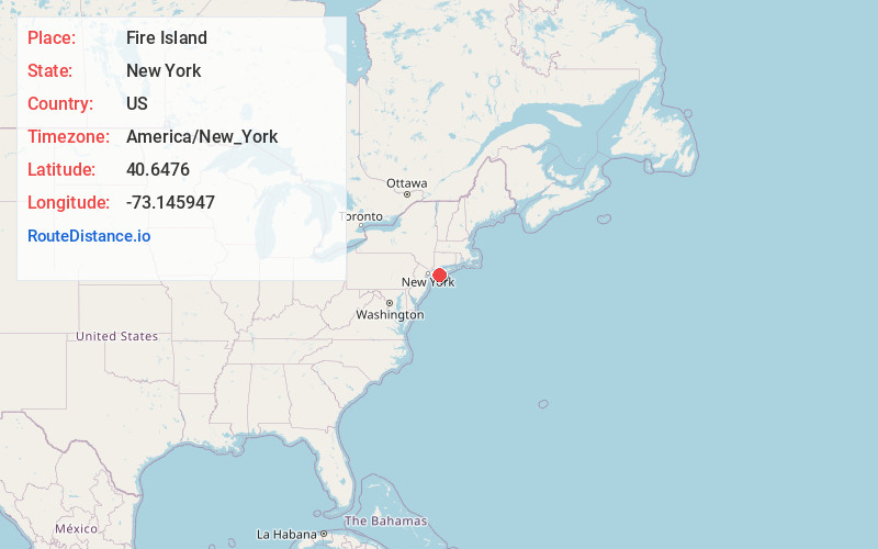
Full AddressFire Island, NY
-
Coordinates40.6475997, -73.1459474
-
LocationFire Island , New York , US
-
TimezoneAmerica/New_York
-
Current Local Time7:35:55 PM America/New_YorkSunday, June 1, 2025
-
Page Views1
About Fire Island
Fire Island is a thin Atlantic Ocean barrier island off the southern shore of Long Island, New York. It’s known for protected beaches interspersed with seasonal resort communities. On the western tip, Robert Moses State Park offers picnic spots, pitch-and-putt golf and access to the 19th-century Fire Island Lighthouse. It’s also the only area of the island accessible by car.


Nearby Places
Found 10 places within 50 miles

Great River
5.1 mi
8.2 km
Great River, NY
Get directions

West Sayville
6.1 mi
9.8 km
West Sayville, NY
Get directions

East Islip
6.2 mi
10.0 km
East Islip, NY
Get directions

Oakdale
6.7 mi
10.8 km
Oakdale, NY
Get directions

Sayville
7.0 mi
11.3 km
Sayville, NY
Get directions
North Great River
7.2 mi
11.6 km
North Great River, NY 11752
Get directions

Islip Terrace
7.4 mi
11.9 km
Islip Terrace, NY 11752
Get directions

Bay Shore
7.5 mi
12.1 km
Bay Shore, NY
Get directions

Bayport
8.0 mi
12.9 km
Bayport, NY
Get directions

Brightwaters
8.1 mi
13.0 km
Brightwaters, NY
Get directions
Location Links
Local Weather
Weather Information
Coming soon!
Location Map
Static map view of Fire Island, New York
Browse Places by Distance
Places within specific distances from Fire Island
Short Distances
Long Distances
Click any distance to see all places within that range from Fire Island. Distances shown in miles (1 mile ≈ 1.61 kilometers).