Distance to Firesteel River, Michigan

Calculating Your Route
Just a moment while we process your request...
Location Information
-
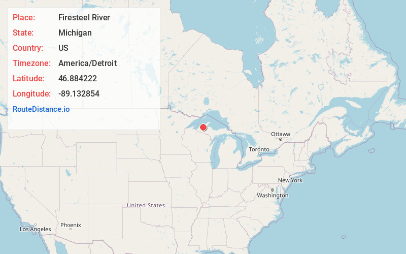
Full AddressFiresteel River, Michigan 49953
-
Coordinates46.8842215, -89.1328537
-
LocationMichigan , US
-
TimezoneAmerica/Detroit
-
Current Local Time5:19:38 AM America/DetroitSunday, June 1, 2025
-
Page Views0


Nearby Places
Found 10 places within 50 miles

Greenland
7.4 mi
11.9 km
Greenland, MI
Get directions

Ontonagon
8.6 mi
13.8 km
Ontonagon, MI 49953
Get directions

Mass City
8.6 mi
13.8 km
Mass City, MI 49948
Get directions

Rockland
10.3 mi
16.6 km
Rockland, MI
Get directions
Victoria
13.6 mi
21.9 km
Victoria, MI 49953
Get directions
Green
14.9 mi
24.0 km
Green, MI 49953
Get directions
Donken
16.5 mi
26.6 km
Donken, MI 49965
Get directions
Alston
19.7 mi
31.7 km
Alston, MI 49958
Get directions

White Pine
23.2 mi
37.3 km
White Pine, MI 49971
Get directions

Pelkie
24.0 mi
38.6 km
Pelkie, MI 49958
Get directions
Location Links
Local Weather
Weather Information
Coming soon!
Location Map
Static map view of Firesteel River, Michigan
Browse Places by Distance
Places within specific distances from Firesteel River
Short Distances
Long Distances
Click any distance to see all places within that range from Firesteel River. Distances shown in miles (1 mile ≈ 1.61 kilometers).