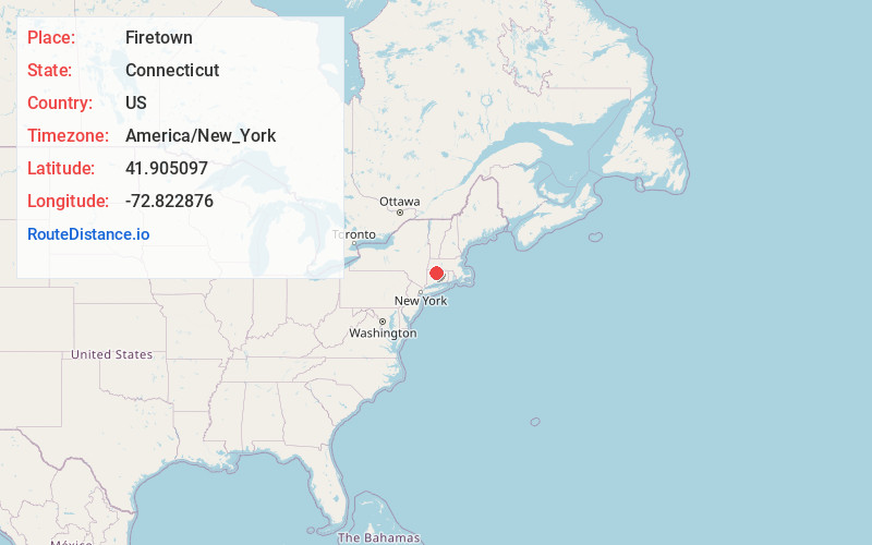
Distance to Firetown, Connecticut

Calculating Your Route
Just a moment while we process your request...
Location Information
-
Full AddressFiretown, Simsbury, CT 06070
-
Coordinates41.9050972, -72.8228755
-
LocationSimsbury , Connecticut , US
-
TimezoneAmerica/New_York
-
Current Local Time12:23:28 PM America/New_YorkFriday, June 20, 2025
-
Page Views0
Nearby Places
Found 10 places within 50 miles

Simsbury
2.6 mi
4.2 km
Simsbury, CT
Get directions

Mechanicsville
4.7 mi
7.6 km
Mechanicsville, Granby, CT 06035
Get directions
Rainbow
6.8 mi
10.9 km
Rainbow, Windsor, CT 06095
Get directions
Hartland
7.8 mi
12.6 km
Hartland, CT
Get directions

New Hartford
8.0 mi
12.9 km
New Hartford, CT
Get directions

Southwick
10.7 mi
17.2 km
Southwick, MA
Get directions

Burlington
11.9 mi
19.2 km
Burlington, CT
Get directions

Hartford
12.3 mi
19.8 km
Hartford, CT
Get directions
Robertsville
12.5 mi
20.1 km
Robertsville, Colebrook, CT 06065
Get directions

East Windsor
13.6 mi
21.9 km
East Windsor, CT
Get directions
Location Links
Local Weather
Weather Information
Coming soon!
Location Map
Static map view of Firetown, Connecticut
Browse Places by Distance
Places within specific distances from Firetown
Short Distances
Long Distances
Click any distance to see all places within that range from Firetown. Distances shown in miles (1 mile ≈ 1.61 kilometers).