Distance to Firwood, Washington

Calculating Your Route
Just a moment while we process your request...
Location Information
-
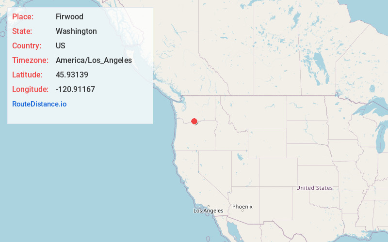
Full AddressFirwood, WA 98620
-
Coordinates45.93139, -120.9116701
-
LocationFirwood , Washington , US
-
TimezoneAmerica/Los_Angeles
-
Current Local Time9:55:10 AM America/Los_AngelesSaturday, June 7, 2025
-
Page Views0
About Firwood
Firwood is an unincorporated community located in Klickitat County, Washington, United States. The community was settled in the early 1900s and was primarily an agricultural growing region. Sometimes called the "FG Territory", Firwood includes the former King Ranch area to the south.
Nearby Places
Found 10 places within 50 miles

Blockhouse Creek
6.6 mi
10.6 km
Blockhouse Creek, Washington
Get directions

Goldendale
8.7 mi
14.0 km
Goldendale, WA 98620
Get directions
Wahkiacus
11.6 mi
18.7 km
Wahkiacus, WA 98620
Get directions

Centerville
12.3 mi
19.8 km
Centerville, WA 98613
Get directions
Klickitat Springs
12.5 mi
20.1 km
Klickitat Springs, WA 98628
Get directions
Woodruff Mill
12.5 mi
20.1 km
Woodruff Mill, WA 98670
Get directions

Klickitat
14.0 mi
22.5 km
Klickitat, WA
Get directions
Swale
14.2 mi
22.9 km
Swale, WA 98613
Get directions

Gooseneck
15.9 mi
25.6 km
Gooseneck, WA 98613
Get directions

Maryhill
17.5 mi
28.2 km
Maryhill, WA 98620
Get directions
Location Links
Local Weather
Weather Information
Coming soon!
Location Map
Static map view of Firwood, Washington
Browse Places by Distance
Places within specific distances from Firwood
Short Distances
Long Distances
Click any distance to see all places within that range from Firwood. Distances shown in miles (1 mile ≈ 1.61 kilometers).