Distance to Five Points, California

Calculating Your Route
Just a moment while we process your request...
Location Information
-
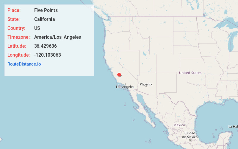
Full AddressFive Points, CA 93624
-
Coordinates36.4296358, -120.1030632
-
LocationFive Points , California , US
-
TimezoneAmerica/Los_Angeles
-
Current Local Time3:08:26 AM America/Los_AngelesThursday, June 26, 2025
-
Page Views0
About Five Points
Five Points is an unincorporated community in Fresno County, California. It is located 25 miles northeast of Coalinga, at an elevation of 223 feet. Five Points marks the junction of California State Routes 145 and 269.
A post office opened at Five Points in 1944.


Nearby Places
Found 10 places within 50 miles

Burrel
7.8 mi
12.6 km
Burrel, CA 93656
Get directions

Lanare
9.6 mi
15.4 km
Lanare, CA 93656
Get directions
Schilling
10.7 mi
17.2 km
Schilling, CA 93656
Get directions

Cantua Creek
12.8 mi
20.6 km
Cantua Creek, CA 93608
Get directions

San Joaquin
13.1 mi
21.1 km
San Joaquin, CA 93660
Get directions

Riverdale
13.5 mi
21.7 km
Riverdale, CA 93656
Get directions
Vanguard
14.4 mi
23.2 km
Vanguard, CA
Get directions

Huron
15.7 mi
25.3 km
Huron, CA 93234
Get directions

Lemoore Station
15.9 mi
25.6 km
Lemoore Station, CA
Get directions

Raisin City
16.3 mi
26.2 km
Raisin City, CA
Get directions
Location Links
Local Weather
Weather Information
Coming soon!
Location Map
Static map view of Five Points, California
Browse Places by Distance
Places within specific distances from Five Points
Short Distances
Long Distances
Click any distance to see all places within that range from Five Points. Distances shown in miles (1 mile ≈ 1.61 kilometers).