Distance to Flag Pond, Tennessee

Calculating Your Route
Just a moment while we process your request...
Location Information
-
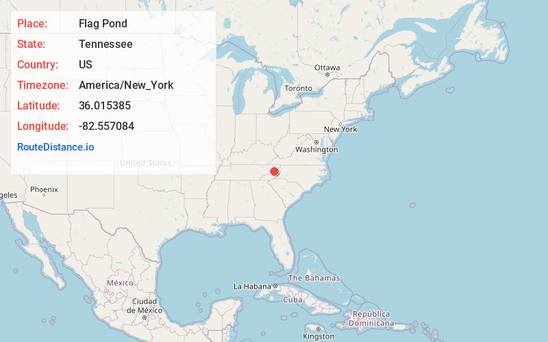
Full AddressFlag Pond, TN 37657
-
Coordinates36.015385, -82.5570836
-
LocationFlag Pond , Tennessee , US
-
TimezoneAmerica/New_York
-
Current Local Time12:31:08 PM America/New_YorkWednesday, June 18, 2025
-
Page Views0
About Flag Pond
Flag Pond is an unincorporated community in Unicoi County, Tennessee. It is part of the Johnson City Metropolitan Statistical Area, which is a component of the Johnson City-Kingsport-Bristol, TN-VA Combined Statistical Area – commonly known as the Appalachian Highlands region.


Nearby Places
Found 10 places within 50 miles

Bald Mountain
5.9 mi
9.5 km
Bald Mountain, NC 28714
Get directions
Allegheny
6.4 mi
10.3 km
Allegheny, NC 28753
Get directions
Adams Mill
8.9 mi
14.3 km
Adams Mill, TN 37641
Get directions
Swiss
9.2 mi
14.8 km
Swiss, NC 28714
Get directions
Bald Creek
10.4 mi
16.7 km
Bald Creek, NC 28714
Get directions
Banner Hill
10.8 mi
17.4 km
Banner Hill, TN 37650
Get directions
Hawk Branch
11.0 mi
17.7 km
Hawk Branch, NC 28714
Get directions
Sioux
11.0 mi
17.7 km
Sioux, NC 28714
Get directions
Buckner
11.2 mi
18.0 km
Buckner, NC 28754
Get directions
Revere
11.3 mi
18.2 km
Revere, NC 28753
Get directions
Location Links
Local Weather
Weather Information
Coming soon!
Location Map
Static map view of Flag Pond, Tennessee
Browse Places by Distance
Places within specific distances from Flag Pond
Short Distances
Long Distances
Click any distance to see all places within that range from Flag Pond. Distances shown in miles (1 mile ≈ 1.61 kilometers).