Distance to Flagg, Texas

Calculating Your Route
Just a moment while we process your request...
Location Information
-
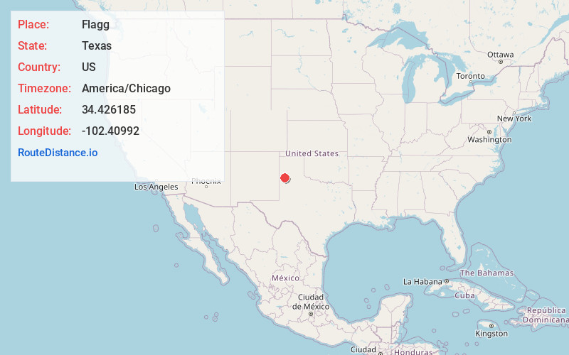
Full AddressFlagg, TX 79027
-
Coordinates34.4261851, -102.4099197
-
LocationTexas , US
-
TimezoneAmerica/Chicago
-
Current Local Time10:29:08 PM America/ChicagoFriday, May 30, 2025
-
Page Views0
Nearby Places
Found 10 places within 50 miles

Dimmitt
10.3 mi
16.6 km
Dimmitt, TX
Get directions

Roy
11.5 mi
18.5 km
Roy, TX 79043
Get directions

Earth
13.3 mi
21.4 km
Earth, TX 79031
Get directions

Springlake
14.7 mi
23.7 km
Springlake, TX 79082
Get directions

Hart
17.0 mi
27.4 km
Hart, TX
Get directions
Hilburn
18.7 mi
30.1 km
Hilburn, TX 79027
Get directions
Circle
19.2 mi
30.9 km
Circle, TX 79064
Get directions

Nazareth
19.3 mi
31.1 km
Nazareth, TX 79063
Get directions
Summerfield
22.4 mi
36.0 km
Summerfield, TX 79085
Get directions

Muleshoe
22.6 mi
36.4 km
Muleshoe, TX 79347
Get directions
Location Links
Local Weather
Weather Information
Coming soon!
Location Map
Static map view of Flagg, Texas
Browse Places by Distance
Places within specific distances from Flagg
Short Distances
Long Distances
Click any distance to see all places within that range from Flagg. Distances shown in miles (1 mile ≈ 1.61 kilometers).