Distance to Flagstaff, Arizona

Calculating Your Route
Just a moment while we process your request...
Location Information
-
Full AddressFlagstaff, AZ
-
Coordinates35.1982836, -111.651302
-
LocationFlagstaff , Arizona , US
-
TimezoneAmerica/Phoenix
-
Current Local Time11:21:07 PM America/PhoenixThursday, June 19, 2025
-
Website
-
Page Views0
About Flagstaff
Flagstaff is a city in the U.S. state of Arizona, surrounded by mountains, desert and ponderosa pine forests. It’s a gateway to the San Francisco Peaks, home to Arizona’s tallest mountain (Humphreys Peak) and the Arizona Snowbowl ski resort. Nearby, Wupatki National Monument has Native American pueblo sites, and Walnut Canyon National Monument is dotted with their cliff dwellings.


Location Links
Local Weather
Weather Information
Coming soon!
Location Map
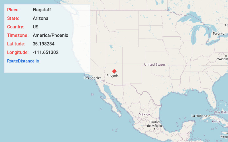
Static map view of Flagstaff, Arizona
Browse Places by Distance
Places within specific distances from Flagstaff
Short Distances
Long Distances
Click any distance to see all places within that range from Flagstaff. Distances shown in miles (1 mile ≈ 1.61 kilometers).