Distance to Flaherty, Kentucky

Calculating Your Route
Just a moment while we process your request...
Location Information
-
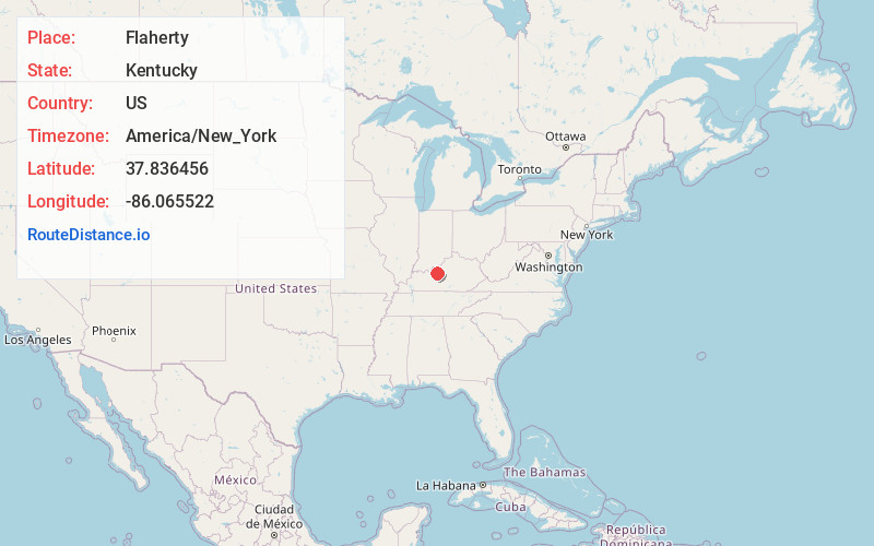
Full AddressFlaherty, KY 40175
-
Coordinates37.8364564, -86.0655217
-
LocationFlaherty , Kentucky , US
-
TimezoneAmerica/New_York
-
Current Local Time12:21:38 PM America/New_YorkFriday, June 20, 2025
-
Page Views0
About Flaherty
Flaherty, an unincorporated community in Meade County, Kentucky, United States, is located 13 miles/21 km south of Brandenburg on KY 144, at its intersection with KY 1600 and KY 1816.


Nearby Places
Found 10 places within 50 miles

Vine Grove
4.9 mi
7.9 km
Vine Grove, KY
Get directions

Big Spring
5.4 mi
8.7 km
Big Spring, KY 40175
Get directions
Prichard Place
6.1 mi
9.8 km
Prichard Place, Fort Knox, KY 40121
Get directions
Hillgrove
6.1 mi
9.8 km
Hillgrove, KY 40142
Get directions
Gaffey Heights
6.3 mi
10.1 km
Gaffey Heights, Fort Knox, KY 40121
Get directions
Rose Terrace
6.3 mi
10.1 km
Rose Terrace, Fort Knox, KY 40121
Get directions

Radcliff
6.4 mi
10.3 km
Radcliff, KY
Get directions
Dietz Acres
6.6 mi
10.6 km
Dietz Acres, Fort Knox, KY 40121
Get directions
Lickskillet
6.8 mi
10.9 km
Lickskillet, KY 40108
Get directions
Rogersville
7.5 mi
12.1 km
Rogersville, Radcliff, KY 40160
Get directions
Location Links
Local Weather
Weather Information
Coming soon!
Location Map
Static map view of Flaherty, Kentucky
Browse Places by Distance
Places within specific distances from Flaherty
Short Distances
Long Distances
Click any distance to see all places within that range from Flaherty. Distances shown in miles (1 mile ≈ 1.61 kilometers).