Distance to Flaming Gorge, Utah

Calculating Your Route
Just a moment while we process your request...
Location Information
-
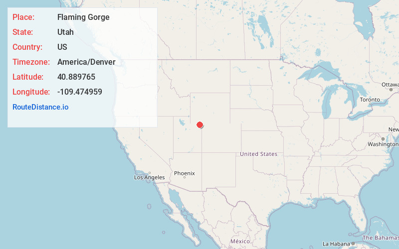
Full AddressFlaming Gorge, UT 84023
-
Coordinates40.8897647, -109.474959
-
LocationFlaming Gorge , Utah , US
-
TimezoneAmerica/Denver
-
Current Local Time3:43:40 AM America/DenverFriday, May 30, 2025
-
Page Views0
About Flaming Gorge
Flaming Gorge is a census-designated place in Daggett County, Utah, United States. The population was 83 at the 2010 census.


Nearby Places
Found 10 places within 50 miles

Manila
14.6 mi
23.5 km
Manila, UT 84046
Get directions

McKinnon
26.2 mi
42.2 km
McKinnon, WY 82938
Get directions
Maeser
29.1 mi
46.8 km
Maeser, UT 84078
Get directions

Vernal
30.1 mi
48.4 km
Vernal, UT 84078
Get directions

Naples
32.0 mi
51.5 km
Naples, UT 84078
Get directions

Jensen
36.7 mi
59.1 km
Jensen, UT 84035
Get directions

Whiterocks
37.7 mi
60.7 km
Whiterocks, UT 84085
Get directions

Neola
42.9 mi
69.0 km
Neola, UT
Get directions

Green River
44.2 mi
71.1 km
Green River, WY 82935
Get directions

James Town
46.0 mi
74.0 km
James Town, WY 82935
Get directions
Location Links
Local Weather
Weather Information
Coming soon!
Location Map
Static map view of Flaming Gorge, Utah
Browse Places by Distance
Places within specific distances from Flaming Gorge
Short Distances
Long Distances
Click any distance to see all places within that range from Flaming Gorge. Distances shown in miles (1 mile ≈ 1.61 kilometers).