Distance to Flamingo, Florida

Calculating Your Route
Just a moment while we process your request...
Location Information
-
Full AddressFlamingo, FL 33034
-
Coordinates25.1417914, -80.9253491
-
NeighborhoodFlamingo
-
LocationFlamingo , Florida , US
-
TimezoneAmerica/New_York
-
Current Local Time2:45:35 AM America/New_YorkMonday, June 2, 2025
-
Page Views0
About Flamingo
Flamingo is the southernmost headquarters of Everglades National Park, in Monroe County, Florida, United States. Flamingo is one of the two end points of the 99-mile Wilderness Waterway, and the southern end of the only road through the park from Florida City.


Nearby Places
Found 10 places within 50 miles

Layton
23.0 mi
37.0 km
Layton, FL 33001
Get directions

Islamorada
23.9 mi
38.5 km
Islamorada, FL
Get directions

Duck Key
25.6 mi
41.2 km
Duck Key, FL 33050
Get directions

Tavernier
27.2 mi
43.8 km
Tavernier, FL 33070
Get directions

Thompson
27.9 mi
44.9 km
Thompson, Key Largo, FL 33037
Get directions

Sunset Point
28.0 mi
45.1 km
Sunset Point, Key Largo, FL 33037
Get directions

Rock Harbor
29.4 mi
47.3 km
Rock Harbor, Key Largo, FL 33037
Get directions

Key Colony Beach
29.7 mi
47.8 km
Key Colony Beach, FL
Get directions

Marathon
29.7 mi
47.8 km
Marathon, FL 33050
Get directions

Key Largo
30.4 mi
48.9 km
Key Largo, FL 33037
Get directions
Location Links
Local Weather
Weather Information
Coming soon!
Location Map
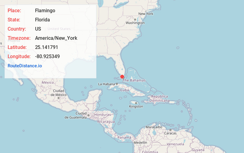
Static map view of Flamingo, Florida
Browse Places by Distance
Places within specific distances from Flamingo
Short Distances
Long Distances
Click any distance to see all places within that range from Flamingo. Distances shown in miles (1 mile ≈ 1.61 kilometers).