Distance to Flanders, New York

Calculating Your Route
Just a moment while we process your request...
Location Information
-
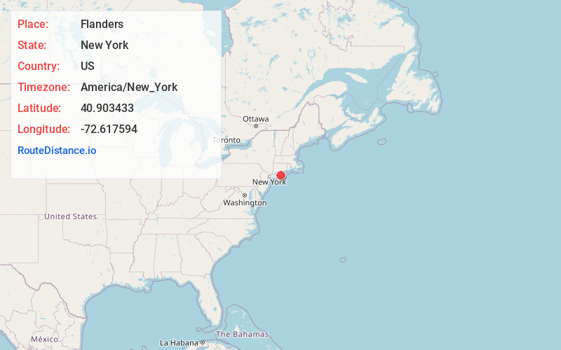
Full AddressFlanders, NY
-
Coordinates40.9034328, -72.6175936
-
LocationFlanders , New York , US
-
TimezoneAmerica/New_York
-
Current Local Time10:12:10 PM America/New_YorkSaturday, June 28, 2025
-
Page Views0
About Flanders
Flanders is a hamlet and a census-designated place in Suffolk County, New York, United States. The population was 4,472 at the 2010 census. It is the location of the Big Duck.
It is located in the town of Southampton on the south side of the Peconic River at its mouth in Peconic Bay.


Nearby Places
Found 10 places within 50 miles

Riverhead
2.5 mi
4.0 km
Riverhead, NY
Get directions

Hampton Bays
5.7 mi
9.2 km
Hampton Bays, NY
Get directions

Center Moriches
11.5 mi
18.5 km
Center Moriches, NY
Get directions

Southampton
12.0 mi
19.3 km
Southampton, NY
Get directions

Wading River
12.2 mi
19.6 km
Wading River, NY
Get directions

Mastic
13.6 mi
21.9 km
Mastic, NY
Get directions

East Shoreham
14.0 mi
22.5 km
East Shoreham, NY
Get directions

Shirley
14.8 mi
23.8 km
Shirley, NY
Get directions

Southold
15.0 mi
24.1 km
Southold, NY 11971
Get directions

Mastic Beach
15.5 mi
24.9 km
Mastic Beach, NY
Get directions
Location Links
Local Weather
Weather Information
Coming soon!
Location Map
Static map view of Flanders, New York
Browse Places by Distance
Places within specific distances from Flanders
Short Distances
Long Distances
Click any distance to see all places within that range from Flanders. Distances shown in miles (1 mile ≈ 1.61 kilometers).