Distance to Flanders, New Jersey

Calculating Your Route
Just a moment while we process your request...
Location Information
-
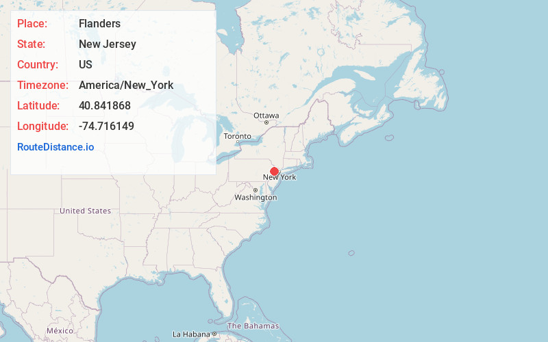
Full AddressFlanders, Mt Olive, NJ
-
Coordinates40.8418677, -74.7161489
-
NeighborhoodFlanders
-
LocationMt Olive , New Jersey , US
-
TimezoneAmerica/New_York
-
Current Local Time6:44:54 PM America/New_YorkTuesday, June 17, 2025
-
Page Views0
About Flanders
Flanders is an unincorporated community and census-designated place in Mount Olive Township, in southwestern Morris County, New Jersey, United States. As of the 2020 census, the population was 9,832. Flanders is served by the U.S. Postal Service as ZIP Code 07836.


Nearby Places
Found 10 places within 50 miles

Mt Olive
2.3 mi
3.7 km
Mt Olive, NJ
Get directions

Roxbury Township
4.2 mi
6.8 km
Roxbury Township, NJ
Get directions

Hackettstown
6.0 mi
9.7 km
Hackettstown, NJ 07840
Get directions

Randolph
6.8 mi
10.9 km
Randolph, NJ
Get directions

Hopatcong
7.0 mi
11.3 km
Hopatcong, NJ
Get directions

Lake Hopatcong
8.7 mi
14.0 km
Lake Hopatcong, New Jersey
Get directions

Dover
8.9 mi
14.3 km
Dover, NJ
Get directions

Morris Twp
10.5 mi
16.9 km
Morris Twp, NJ
Get directions

Rockaway
11.4 mi
18.3 km
Rockaway, NJ 07866
Get directions

Denville
12.9 mi
20.8 km
Denville, NJ
Get directions
Location Links
Local Weather
Weather Information
Coming soon!
Location Map
Static map view of Flanders, New Jersey
Browse Places by Distance
Places within specific distances from Flanders
Short Distances
Long Distances
Click any distance to see all places within that range from Flanders. Distances shown in miles (1 mile ≈ 1.61 kilometers).