Distance to Fleming Island, Florida

Calculating Your Route
Just a moment while we process your request...
Location Information
-
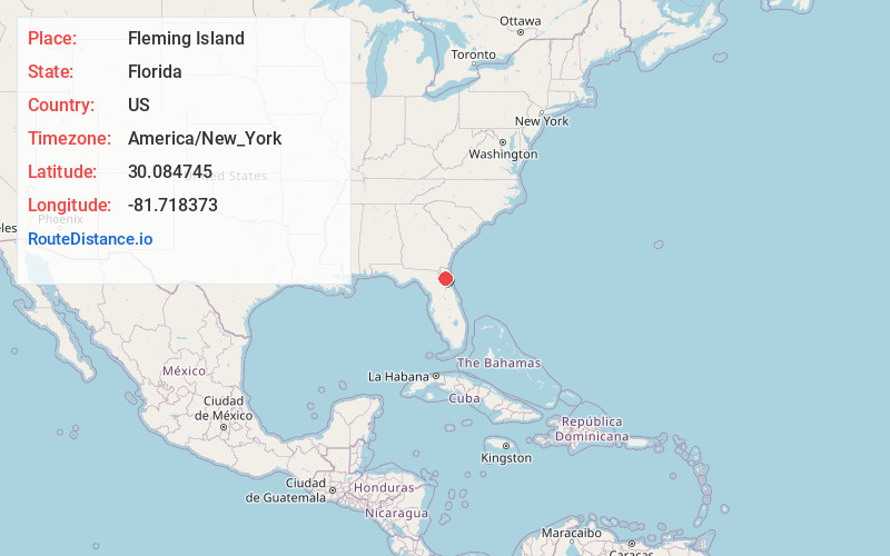
Full AddressFleming Island, FL
-
Coordinates30.0847449, -81.7183733
-
LocationFleming Island , Florida , US
-
TimezoneAmerica/New_York
-
Current Local Time1:58:46 AM America/New_YorkWednesday, June 18, 2025
-
Page Views0
About Fleming Island
Fleming Island is an unincorporated community and census-designated place in Clay County, Florida, United States. It is located 21 miles southwest of downtown Jacksonville, on the western side of the St. Johns River, off US 17.


Nearby Places
Found 7 places within 50 miles

Lakeside
4.3 mi
6.9 km
Lakeside, FL
Get directions

Fruit Cove
4.9 mi
7.9 km
Fruit Cove, FL 32259
Get directions

Jacksonville
17.3 mi
27.8 km
Jacksonville, FL
Get directions

St. Augustine
27.6 mi
44.4 km
St. Augustine, FL
Get directions

Palm Coast
46.2 mi
74.4 km
Palm Coast, FL
Get directions

Gainesville
47.1 mi
75.8 km
Gainesville, FL
Get directions

University of Florida
48.6 mi
78.2 km
University of Florida, Gainesville, FL 32611
Get directions
Location Links
Local Weather
Weather Information
Coming soon!
Location Map
Static map view of Fleming Island, Florida
Browse Places by Distance
Places within specific distances from Fleming Island
Short Distances
Long Distances
Click any distance to see all places within that range from Fleming Island. Distances shown in miles (1 mile ≈ 1.61 kilometers).