Distance to Fleming-Neon, Kentucky

Calculating Your Route
Just a moment while we process your request...
Location Information
-
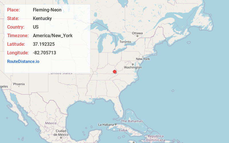
Full AddressFleming-Neon, KY
-
Coordinates37.1923249, -82.7057126
-
LocationFleming-Neon , Kentucky , US
-
TimezoneAmerica/New_York
-
Current Local Time11:12:24 PM America/New_YorkWednesday, May 28, 2025
-
Page Views0
About Fleming-Neon
Fleming-Neon also known as Neon, is a home rule-class city in Letcher County, Kentucky, in the United States. The population was 770 at the 2010 census, down from 840 at the 2000 census.
Nearby Places
Found 10 places within 50 miles

Jenkins
4.3 mi
6.9 km
Jenkins, KY
Get directions

Pound
7.5 mi
12.1 km
Pound, VA 24279
Get directions

Whitesburg
8.4 mi
13.5 km
Whitesburg, KY 41858
Get directions

Clintwood
14.1 mi
22.7 km
Clintwood, VA 24228
Get directions

Wise
16.6 mi
26.7 km
Wise, VA 24293
Get directions

Norton
18.4 mi
29.6 km
Norton, VA
Get directions

Appalachia
20.3 mi
32.7 km
Appalachia, VA
Get directions

Elkhorn City
21.0 mi
33.8 km
Elkhorn City, KY
Get directions

Coeburn
21.7 mi
34.9 km
Coeburn, VA 24230
Get directions

Pikeville
22.3 mi
35.9 km
Pikeville, KY 41501
Get directions
Location Links
Local Weather
Weather Information
Coming soon!
Location Map
Static map view of Fleming-Neon, Kentucky
Browse Places by Distance
Places within specific distances from Fleming-Neon
Short Distances
Long Distances
Click any distance to see all places within that range from Fleming-Neon. Distances shown in miles (1 mile ≈ 1.61 kilometers).